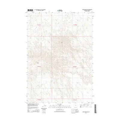
2015 Map of Sheep Mountain
USGS Topo · Published 2015About this map
Sheep Mountain and Tatman Mountain dominate the topography of this Big Horn County region, representing the significant high points within a complex system of drainage and irrigation. The northern reaches of the map show the artificial management of water through the Saint Joe Canal, which cuts across the landscape near Webster Creek. This contrast between natural runoff and engineered water systems is characteristic of the area’s ranching and agricultural history.
Find a feature on this map
16 named features on this map. Tap any name to fly to it.
Don’t see what you’re looking for? This feature index may not catch every label — zoom into the map to look around manually.
Map Details
Editions of this 2015 Sheep Mountain Map
This is the sole edition of this map. No revisions or reprints were ever made.
Other maps of this area

1951 · Burlington
USGS Topo · 1:24,000

1951 · Sucker Dam
USGS Topo · 1:24,000

1951 · Y U Bench NE
USGS Topo · 1:24,000

1951 · Sheep Mountain
USGS Topo · 1:24,000

1951 · Tatman Mountain
USGS Topo · 1:24,000

1951 · Wardel Reservoir
USGS Topo · 1:24,000

1951 · Otto
USGS Topo · 1:24,000

1951 · Dead Indian Hill
USGS Topo · 1:24,000

1951 · Dutch Nick Flat NW
USGS Topo · 1:24,000

1955 · Cody
USGS Topo · 1:250,000