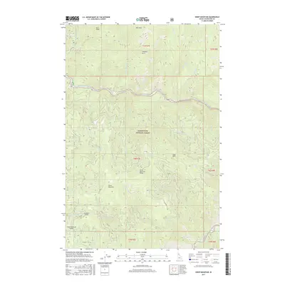
2017 Map of Sheep Mountain
USGS Topo · Published 2017About this map
Sheep Mountain serves as the central landmark for this section of the Clearwater National Forest in Idaho. The terrain is defined by the Sheep Mountain Range and a complex network of drainage basins. The North Fork Clearwater River winds through the northern portion of the quadrangle, joined by numerous tributaries including Sturman Cr, Grasshopper Cr, and Lost Pete Cr. High-elevation crossings and ridge points like Swanson Saddle, Preceptor Point, and Eagle Point indicate the challenging geography of this forested interior. This 2017 survey details the Forest Service road network, such as Co RD 685 and Co RD 700, which provide access to these remote reaches. Small watercourses with locally descriptive names like Sourdough Cr and Little Washington Cr reflect the history of exploration and activity in the Clearwater basin.
Find a feature on this map
45 named features on this map. Tap any name to fly to it.
Don’t see what you’re looking for? This feature index may not catch every label — zoom into the map to look around manually.
Map Details
Editions of this 2017 Sheep Mountain Map
This is the sole edition of this map. No revisions or reprints were ever made.
Other maps of this area

1911 · Lolo
USGS Topo · 1:250,000

1913 · Lolo
USGS Topo · 1:250,000

1923 · Washington Creek
USGS Topo · 1:125,000

1956 · Hamilton
USGS Topo · 1:250,000

1959 · Hamilton
USGS Topo · 1:250,000

1960 · Hamilton
USGS Topo · 1:250,000
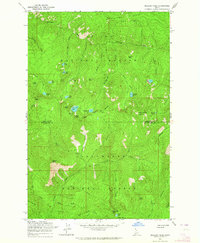
1963 · Mallard Peak
USGS Topo · 1:24,000

1963 · Sheep Mtn
USGS Topo · 1:24,000
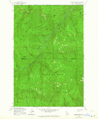
1963 · Buzzard Roost
USGS Topo · 1:24,000
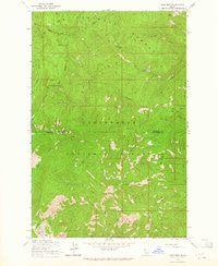
1963 · Pole Mtn
USGS Topo · 1:24,000