
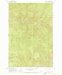
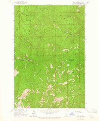
1963 Map of Sheep Mtn
USGS Topo · Published 1964About this map
North Fork Clearwater River carves a deep path through this 1963 survey of the Clearwater National Forest, defining the region's topography and early forest management infrastructure. The landscape is dominated by the Sheep Mountain Range, punctuated by high points such as Sheep Mountain, Preceptor Point, and Eagle Point, which hosts a lookout tower. Forest Service operations are central to this area, evidenced by the Canyon Ranger Station, a Heliport, and a Radio Facility located near the river's bend.
Find a feature on this map
41 named features on this map. Tap any name to fly to it.
Don’t see what you’re looking for? This feature index may not catch every label — zoom into the map to look around manually.
Map Details
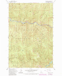
Editions of this 1963 Sheep Mtn Map
3 editions found
Other maps of this area

1911 · Lolo
USGS Topo · 1:250,000

1913 · Lolo
USGS Topo · 1:250,000

1923 · Washington Creek
USGS Topo · 1:125,000

1956 · Hamilton
USGS Topo · 1:250,000

1959 · Hamilton
USGS Topo · 1:250,000

1960 · Hamilton
USGS Topo · 1:250,000
1963 · Mallard Peak
USGS Topo · 1:24,000
1963 · Buzzard Roost
USGS Topo · 1:24,000
1963 · Pole Mtn
USGS Topo · 1:24,000
1963 · The Nub
USGS Topo · 1:24,000