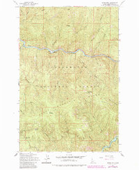
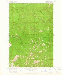
1963 Map of Sheep Mtn
USGS Topo · Published 1984About this map
The North Fork Clearwater River carves a deep valley through this portion of the Clearwater National Forest, defining the landscape of central Idaho during the mid-twentieth century. Human activity centers on the river corridor, where the Canyon Work Center and a nearby Heliport represent the logistical infrastructure of the U.S. Forest Service. Recreational and utility points of interest include the Aquarius Campground and a Radio Facility perched on a northern ridge.
Find a feature on this map
52 named features on this map. Tap any name to fly to it.
Don’t see what you’re looking for? This feature index may not catch every label — zoom into the map to look around manually.
Map Details
Editions of this 1963 Sheep Mtn Map
3 editions found
Other maps of this area

1911 · Lolo
USGS Topo · 1:250,000

1913 · Lolo
USGS Topo · 1:250,000

1923 · Washington Creek
USGS Topo · 1:125,000

1956 · Hamilton
USGS Topo · 1:250,000

1959 · Hamilton
USGS Topo · 1:250,000

1960 · Hamilton
USGS Topo · 1:250,000
1963 · Mallard Peak
USGS Topo · 1:24,000

1963 · Sheep Mtn
USGS Topo · 1:24,000
1963 · Buzzard Roost
USGS Topo · 1:24,000
1963 · Pole Mtn
USGS Topo · 1:24,000