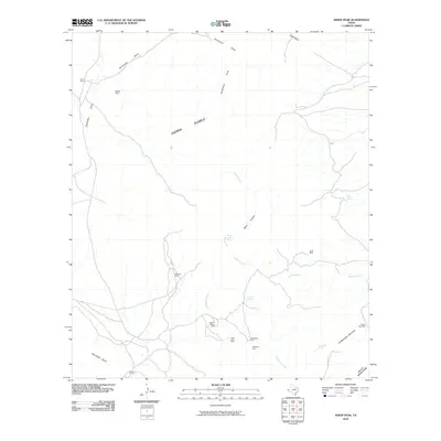
2010 Map of Sheep Peak
USGS Topo · Published 2010About this map
Mohawk Mine and the Sancho Panza Mine anchor a landscape defined by high desert peaks and deep canyon drainages in West Texas. This 2010 survey of Culberson County reveals a cluster of mining activity including the Saint Elmo Mine, Blackshaft Mine, and Hackberry Mine, concentrated along the lower reaches of the Sierra Diablo range. The land is punctuated by isolated water sources essential for ranching and industry, such as Cowan Spring and Wood Canyon Spring.
Find a feature on this map
23 named features on this map. Tap any name to fly to it.
Don’t see what you’re looking for? This feature index may not catch every label — zoom into the map to look around manually.
Map Details
Editions of this 2010 Sheep Peak Map
This is the sole edition of this map. No revisions or reprints were ever made.
Other maps of this area

1895 · Sierra Blanca
USGS Topo · 1:125,000

1906 · Van Horn
USGS Topo · 1:125,000

1954 · Van Horn
USGS Topo · 1:250,000

1958 · Van Horn
USGS Topo · 1:250,000
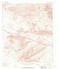
1964 · Hackett Peak
USGS Topo · 1:24,000

1964 · Van Horn
USGS Topo · 1:24,000
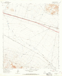
1964 · Allamoore
USGS Topo · 1:24,000
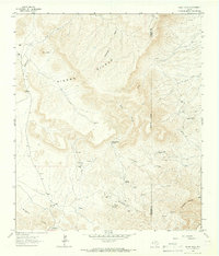
1964 · Sheep Peak
USGS Topo · 1:24,000
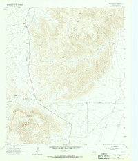
1964 · Nutt Ranch
USGS Topo · 1:24,000
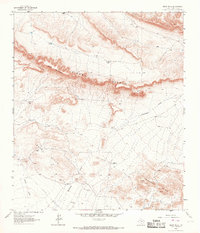
1964 · Bean Hills
USGS Topo · 1:24,000