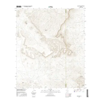
2016 Map of Sheep Peak
USGS Topo · Published 2016About this map
Sheep Peak stands as a prominent landmark in this high-desert landscape, located along the border of Hudspeth and Culberson counties. The terrain is defined by a complex network of ephemeral drainages and springs that have long dictated movement through this arid environment. To the south, the Beach Mountains and Millican Hills rise above the basin floor, while deep incisions like Wood Canyon and Seventeen Draw carve through the center of the sheet. Water sources, vital for regional survival and livestock, are documented at Wood Canyon Spring, Cowan Spring, and the Grapevine Springs. These features, along with named washes like Sulphur Cr and Hackberry Cr, illustrate the fundamental reliance on specific water points in the Trans-Pecos region during the early 21st century.
Find a feature on this map
14 named features on this map. Tap any name to fly to it.
Don’t see what you’re looking for? This feature index may not catch every label — zoom into the map to look around manually.
Map Details
Editions of this 2016 Sheep Peak Map
This is the sole edition of this map. No revisions or reprints were ever made.
Other maps of this area

1895 · Sierra Blanca
USGS Topo · 1:125,000

1906 · Van Horn
USGS Topo · 1:125,000

1954 · Van Horn
USGS Topo · 1:250,000

1958 · Van Horn
USGS Topo · 1:250,000
1964 · Hackett Peak
USGS Topo · 1:24,000

1964 · Van Horn
USGS Topo · 1:24,000
1964 · Allamoore
USGS Topo · 1:24,000
1964 · Sheep Peak
USGS Topo · 1:24,000
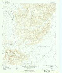
1964 · Nutt Ranch
USGS Topo · 1:24,000
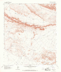
1964 · Bean Hills
USGS Topo · 1:24,000