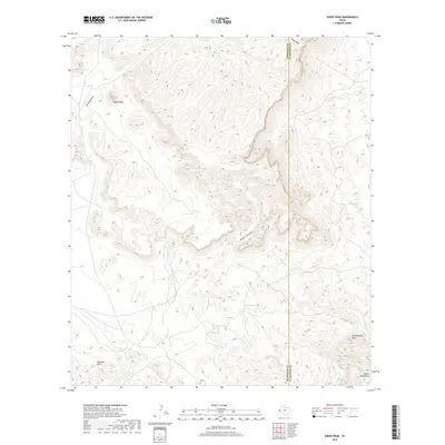
2019 Map of Sheep Peak
USGS Topo · Published 2019About this map
Sheep Peak rises as a dominant landmark in this high-desert landscape situated along the western edge of Culberson County. The area is defined by sharp topographic relief and a critical reliance on natural water sources, evidenced by the distribution of Yellow Spring, Wood Canyon Spring, and Cowan Spring. These perennial points historically served as vital anchors for early trans-Pecos travel and ranching. The southern portion of the map is marked by the distinct elevations of the Beach Mountains and Tumbledown Mtn, while Sulphur Cr and Hackberry Cr carve drainage paths through the arid terrain. The map also delineates the precise boundary where the county meets neighboring Hudspeth County, cutting across the winding path of Wood Canyon.
Find a feature on this map
14 named features on this map. Tap any name to fly to it.
Don’t see what you’re looking for? This feature index may not catch every label — zoom into the map to look around manually.
Map Details
Editions of this 2019 Sheep Peak Map
This is the sole edition of this map. No revisions or reprints were ever made.
Other maps of this area

1895 · Sierra Blanca
USGS Topo · 1:125,000

1906 · Van Horn
USGS Topo · 1:125,000

1954 · Van Horn
USGS Topo · 1:250,000

1958 · Van Horn
USGS Topo · 1:250,000
1964 · Hackett Peak
USGS Topo · 1:24,000

1964 · Van Horn
USGS Topo · 1:24,000
1964 · Allamoore
USGS Topo · 1:24,000
1964 · Sheep Peak
USGS Topo · 1:24,000
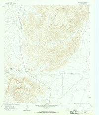
1964 · Nutt Ranch
USGS Topo · 1:24,000
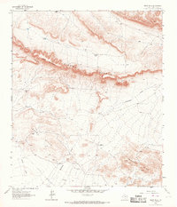
1964 · Bean Hills
USGS Topo · 1:24,000