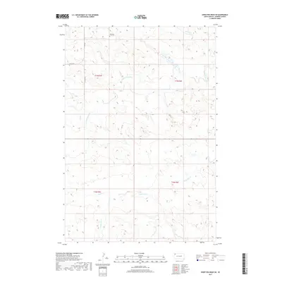
2017 Map of Sheep Pen Draw SW
USGS Topo · Published 2017About this map
The Old Grand River Cem stands as a quiet reminder of early settlement along the northern reaches of this Harding County landscape. Located near the headwaters of the S Fork Grand River, this area is defined by an intricate network of seasonal drainages, including Sheep Cr and Boxelder Cr. The terrain is shaped by the convergence of several major prairie watercourses, with Buffalo Cr and Clarks Fork Cr threading through the southern sections of the townships.
Find a feature on this map
14 named features on this map. Tap any name to fly to it.
Don’t see what you’re looking for? This feature index may not catch every label — zoom into the map to look around manually.
Map Details
Editions of this 2017 Sheep Pen Draw SW Map
This is the sole edition of this map. No revisions or reprints were ever made.
Other maps of this area

1935 · Reva
USGS Topo · 1:125,000

1935 · Hoover
USGS Topo · 1:125,000

1935 · Harding
USGS Topo · 1:125,000

1935 · Buffalo
USGS Topo · 1:125,000

1954 · Lemmon
USGS Topo · 1:250,000

1957 · Lemmon
USGS Topo · 1:250,000

1971 · Buffalo
USGS Topo · 1:24,000
1971 · Sheep Pen Draw
USGS Topo · 1:24,000

1971 · McKenzie Butte
USGS Topo · 1:24,000
1971 · Sheep Pen Draw SW
USGS Topo · 1:24,000