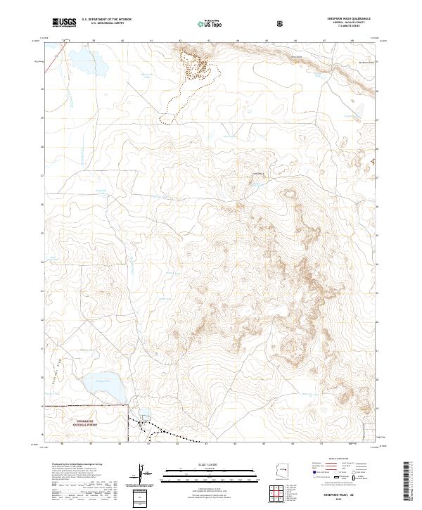
2021 Map of Sheepskin Wash
USGS Topo · Published 2021About this map
Sitgreaves National Forest lands dominate the southern portion of this high-desert landscape in Navajo County, defined by a complex network of ephemeral drainages and essential water-catchment tanks. The terrain is marked by significant topographical features such as the Pink Cliffs in the northeast and the prominent Indian Rock. Ranching and land management infrastructure is evident through the numerous named reservoirs like Happy Tank, Settling Tank, and Pearce Tank, which serve this arid environment. The map details the drainage patterns of Sheepskin Wash and Phoenix Park Wash, alongside the carved routes of Bushman Draw and Buckhorn Draw. These features, connected by the lone named thoroughfare of Indian Pottery Rd, illustrate the intersection of natural erosion and human adaptation in the Arizona backcountry during the early twenty-first century.
Find a feature on this map
26 named features on this map. Tap any name to fly to it.
Don’t see what you’re looking for? This feature index may not catch every label — zoom into the map to look around manually.
Map Details
Editions of this 2021 Sheepskin Wash Map
This is the sole edition of this map. No revisions or reprints were ever made.
Other maps of this area

1886 · Holbrook
USGS Topo · 1:250,000

1893 · Holbrook
USGS Topo · 1:250,000

1954 · Holbrook
USGS Topo · 1:250,000

1957 · Holbrook
USGS Topo · 1:250,000

1958 · Holbrook
USGS Topo · 1:250,000

1960 · Holbrook
USGS Topo · 1:250,000

1961 · Clay Springs
USGS Topo · 1:62,500
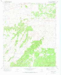
1970 · Cactus Flat
USGS Topo · 1:24,000
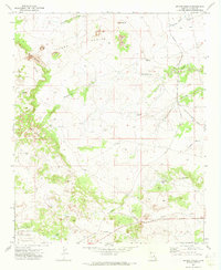
1970 · Second Knolls
USGS Topo · 1:24,000
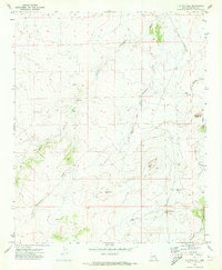
1970 · Flattop Hill
USGS Topo · 1:24,000