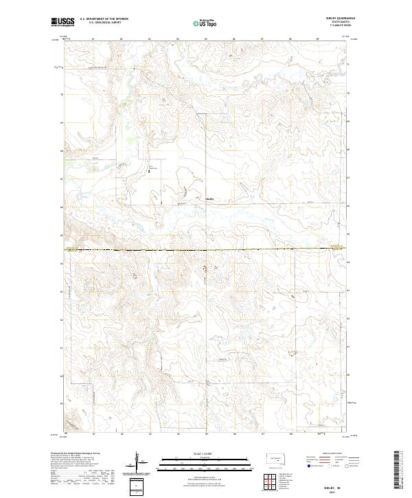
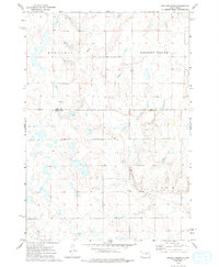
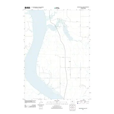
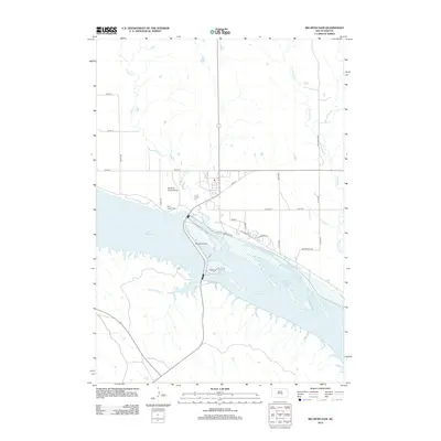
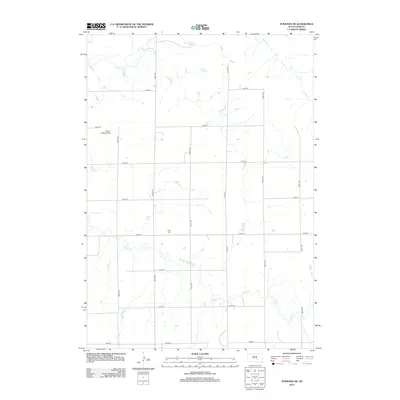
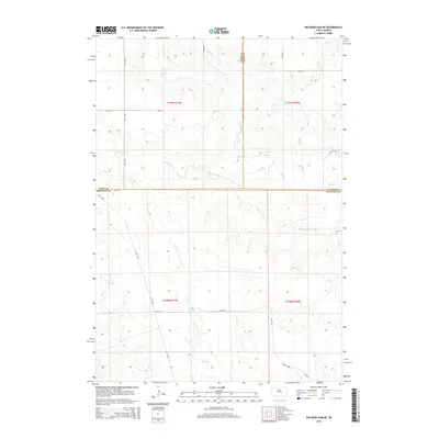
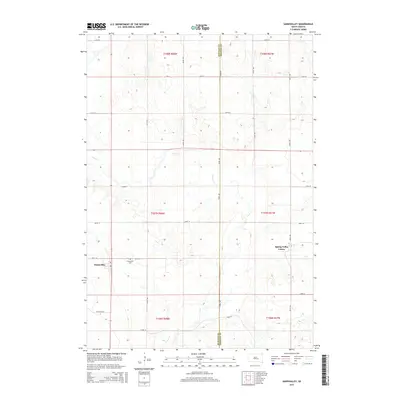
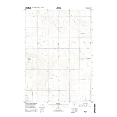
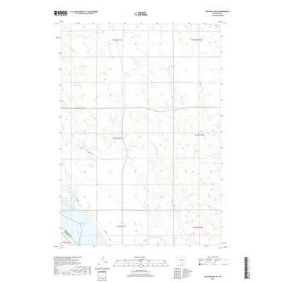
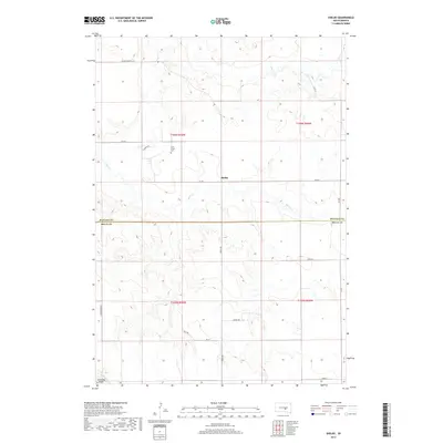
2021 Map of Shelby
USGS Topo · Published 2021About this map
The settlement of Shelby sits near the heart of this landscape, situated just north of the county line separating Buffalo and Brule. This contemporary survey captures a rural South Dakota terrain defined by the winding paths of Crow Cr and Smith Cr, which cut through the high plains toward Tischudy Gulch in the southwest. The presence of the Crow Creek Cem along Harkins Rd provides a specific point of interest for genealogists tracing local families in this sparsely populated region.
Find a feature on this map
22 named features on this map. Tap any name to fly to it.
Don’t see what you’re looking for? This feature index may not catch every label — zoom into the map to look around manually.
Map Details
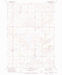
Editions of this 2021 Shelby Map
This is the sole edition of this map. No revisions or reprints were ever made.
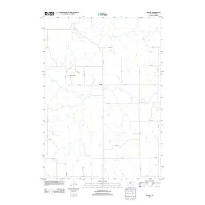
Historical Maps of West Point Township Through Time
55 maps found
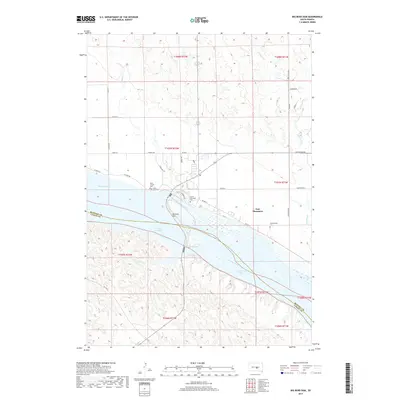
1966 Big Bend Dam
Buffalo County, SD
1966 Big Bend Dam NE
Buffalo County, SD

1966 Big Bend Dam SE
Buffalo County, SD
1973 Dry Run
Buffalo County, SD
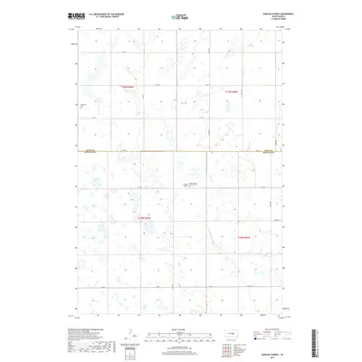
1973 Duncan Church
Buffalo County, SD
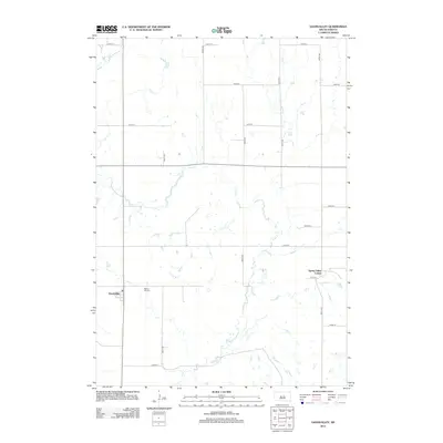
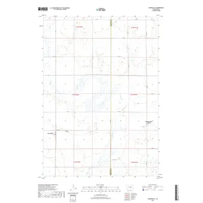
1973 Gannvalley
Buffalo County, SD
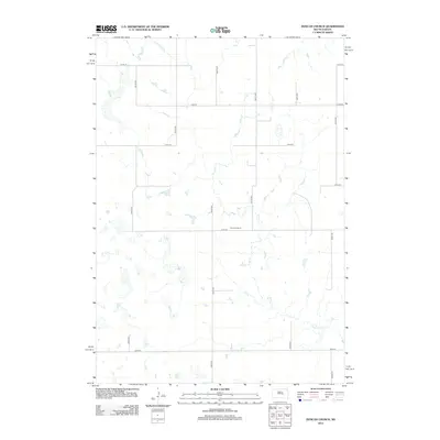
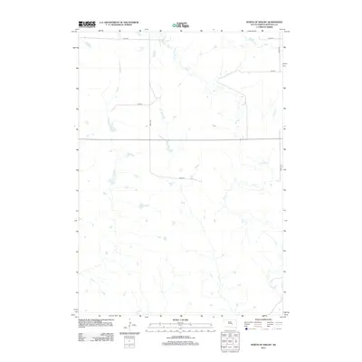
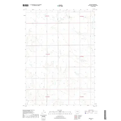
1973 North Of Shelby
Buffalo County, SD
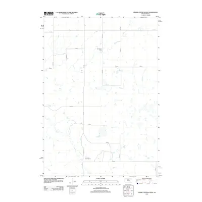
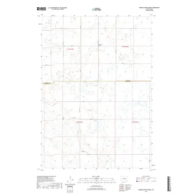
1973 Prairie Center School
Buffalo County, SD
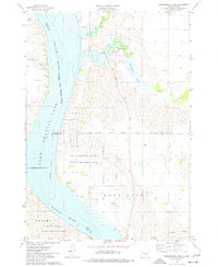
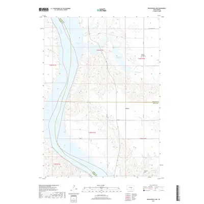
1974 Bedashosha Lake
Buffalo County, SD
1983 Pukwana NE
Buffalo County, SD
1983 Shelby
Buffalo County, SD
2012 Bedashosha Lake
Buffalo County, SD
2012 Big Bend Dam
Buffalo County, SD
2012 Big Bend Dam NE
Buffalo County, SD
2012 Big Bend Dam SE
Buffalo County, SD
2012 Dry Run
Buffalo County, SD
2012 Duncan Church
Buffalo County, SD
2012 Gannvalley
Buffalo County, SD
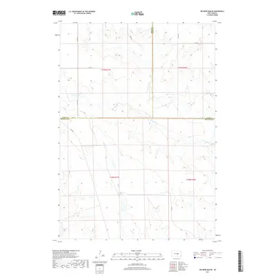
2012 North of Shelby
Buffalo County, SD
2012 Prairie Center School
Buffalo County, SD
2012 Pukwana NE
Buffalo County, SD
2012 Shelby
Buffalo County, SD
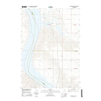
2015 Bedashosha Lake
Buffalo County, SD
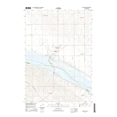
2015 Big Bend Dam
Buffalo County, SD
2015 Big Bend Dam NE
Buffalo County, SD
2015 Big Bend Dam SE
Buffalo County, SD
2015 Dry Run
Buffalo County, SD
2015 Duncan Church
Buffalo County, SD
2015 Gannvalley
Buffalo County, SD
2015 North of Shelby
Buffalo County, SD
2015 Prairie Center School
Buffalo County, SD
2015 Pukwana NE
Buffalo County, SD
2015 Shelby
Buffalo County, SD
2017 Bedashosha Lake
Buffalo County, SD
2017 Big Bend Dam
Buffalo County, SD
2017 Big Bend Dam NE
Buffalo County, SD
2017 Big Bend Dam SE
Buffalo County, SD
2017 Dry Run
Buffalo County, SD
2017 Duncan Church
Buffalo County, SD
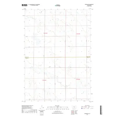
2017 Gannvalley
Buffalo County, SD
2017 North of Shelby
Buffalo County, SD
2017 Prairie Center School
Buffalo County, SD
2017 Pukwana NE
Buffalo County, SD
2017 Shelby
Buffalo County, SD
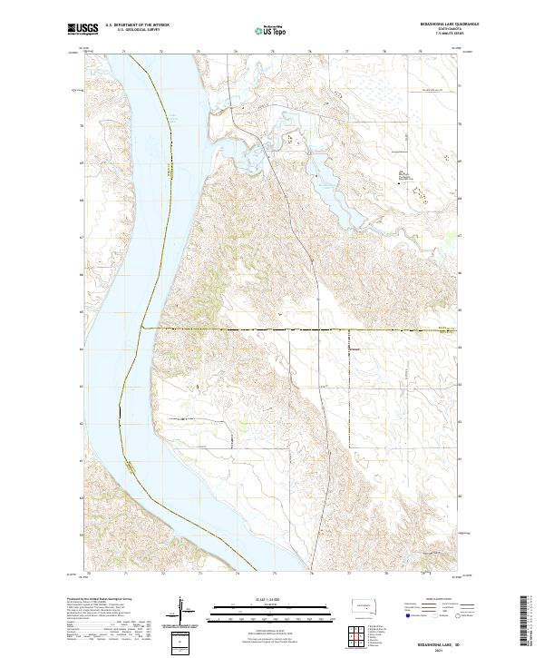
2021 Bedashosha Lake
Buffalo County, SD
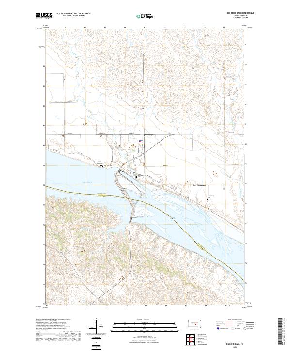
2021 Big Bend Dam
Buffalo County, SD
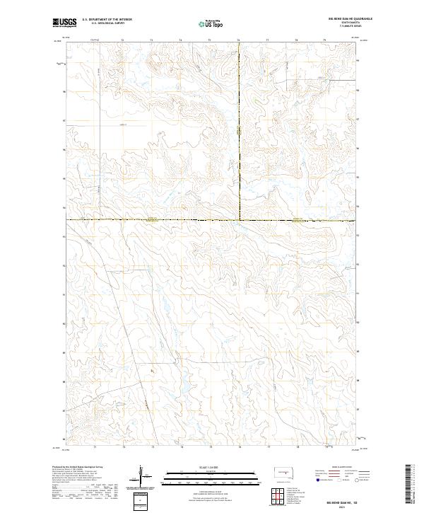
2021 Big Bend Dam NE
Buffalo County, SD
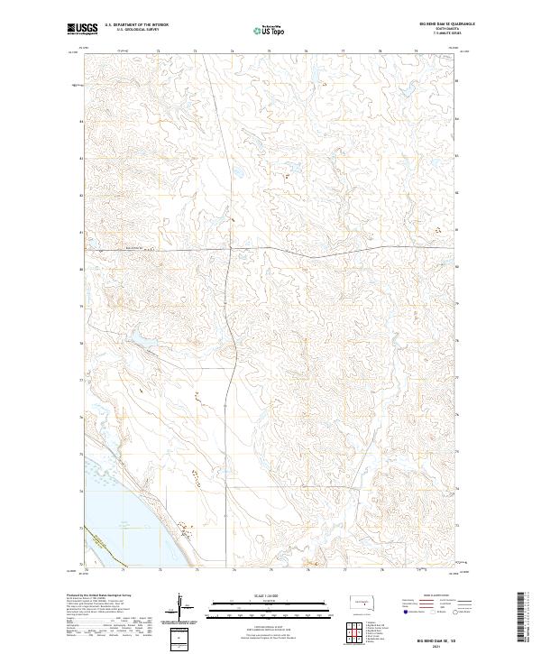
2021 Big Bend Dam SE
Buffalo County, SD
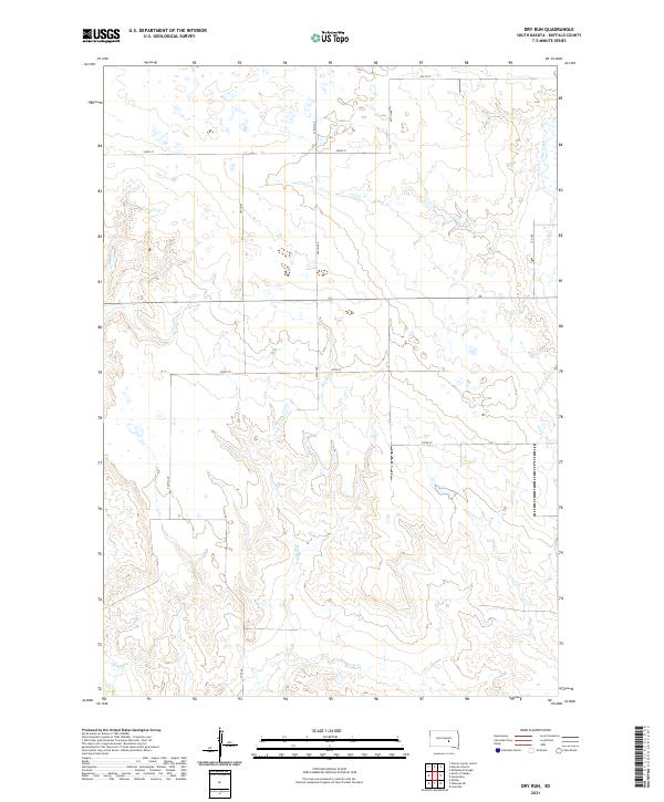
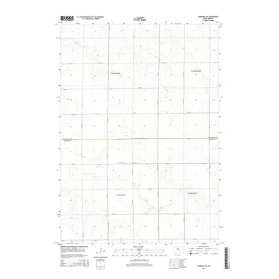
2021 Dry Run
Buffalo County, SD
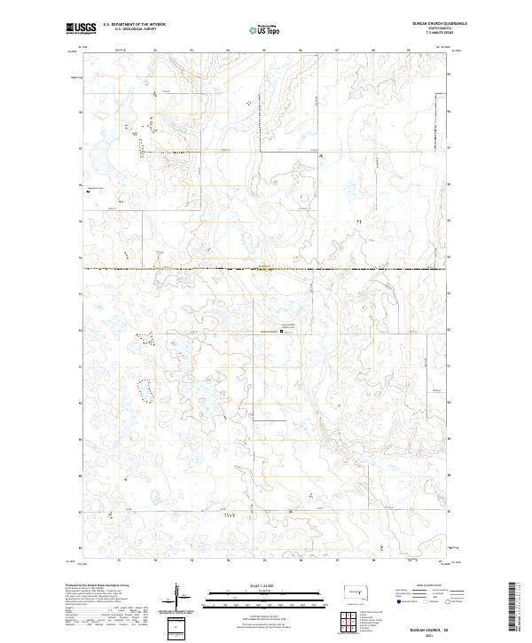
2021 Duncan Church
Buffalo County, SD
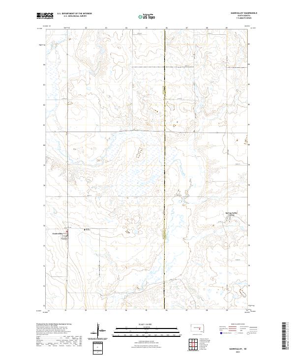
2021 Gannvalley
Buffalo County, SD
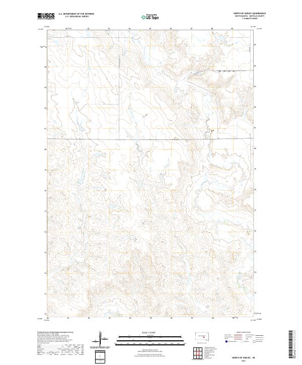
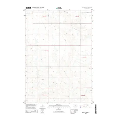
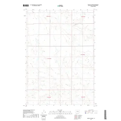
2021 North of Shelby
Buffalo County, SD
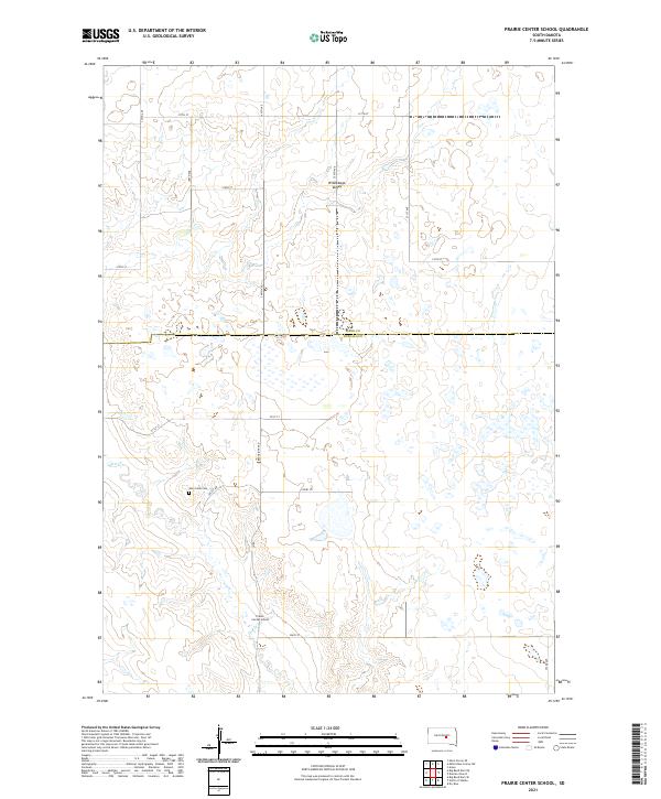
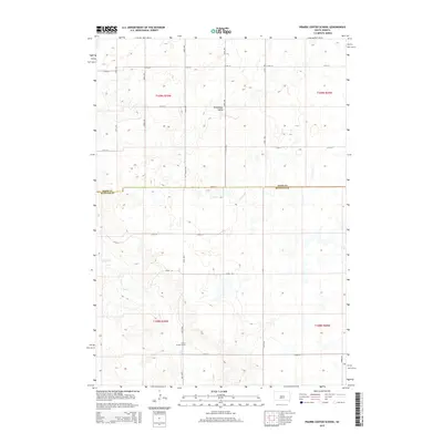
2021 Prairie Center School
Buffalo County, SD
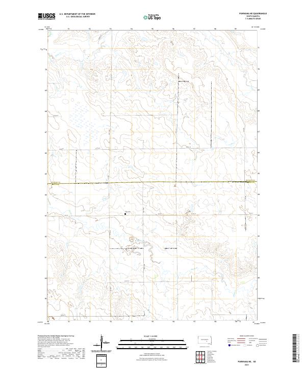
2021 Pukwana NE
Buffalo County, SD
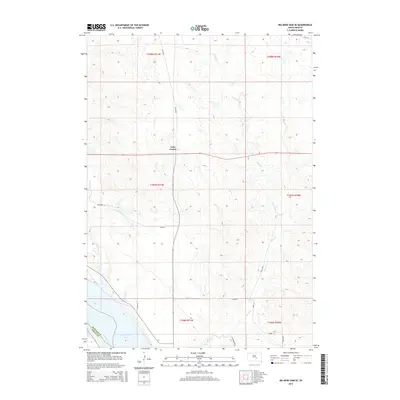
2021 Shelby
Buffalo County, SD
Featured Locations
- Pershing Township, SD
- Union Township, SD
- West Point Township, SD
- Wilson Township, Crow Creek District
- Shelby, Dewey Township