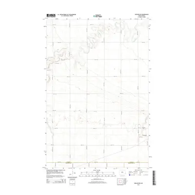
2014 Map of Sheldon NE
USGS Topo · Published 2014About this map
Leonard stands as the primary settlement in this southeastern North Dakota landscape, situated at a junction where the prairie grid meets a local rail line. The terrain is defined by the winding course of the Maple River, which carves a distinct, meandering valley through the township lines. This river corridor provides a sharp contrast to the surrounding agricultural regularity, offering a look at the natural hydrology that influenced the early platting of the region.
Find a feature on this map
25 named features on this map. Tap any name to fly to it.
Don’t see what you’re looking for? This feature index may not catch every label — zoom into the map to look around manually.
Map Details
Editions of this 2014 Sheldon NE Map
This is the sole edition of this map. No revisions or reprints were ever made.
Other maps of this area

1895 · Casselton
USGS Topo · 1:125,000

1897 · Casselton
USGS Topo · 1:125,000

1953 · Fargo
USGS Topo · 1:250,000

1956 · Fargo
USGS Topo · 1:250,000

1959 · Leonard
USGS Topo · 1:24,000

1960 · Power
USGS Topo · 1:24,000

1960 · Coburn
USGS Topo · 1:24,000
1960 · Sheldon
USGS Topo · 1:24,000

1961 · Durbin
USGS Topo · 1:24,000

1961 · Sheldon NW
USGS Topo · 1:24,000