Old Maps of Helendale Township, North Dakota
Explore 32 old maps of Helendale Township, spanning from 1895 to today. These high-resolution historic maps reveal how streets, neighborhoods, landmarks, and natural features evolved over time — perfect for genealogy, metal detecting, research, and local history exploration.
What you can do with these maps:
- See how Helendale Township changed over time: Compare historical maps to modern-day views to trace roads, homesites, rail lines & more.
- View detailed metadata: Each map includes creators, publishers, year, scale, and archive source.
- Overlay maps with satellite & LiDAR: Visualize the past alongside modern tools to explore terrain & human change.
- Trusted historical sources: Maps sourced from the USGS, Library of Congress, and other archives.
- Access maps your way: View online, download high-res files, or order prints for personal or research use.
Start exploring old maps of Helendale Township to uncover forgotten places, hidden landmarks, and the deep history beneath your feet.
Helendale Township, ND maps
(32)- 1895 Map of Casselton, 1961 Print
 1895 Casselton1961 Print · USGSNorth Dakota's Red River Valley rail network is in full bloom in the 1890s, with towns emerging at every major junction. Trace early post offices and depots at Chaffee P.O., Embden, and Ripon along the Northern Pacific R. R.
 - 1897 Map of Casselton
 1897 Casselton1897 Print · USGSCass County’s agricultural heartland is captured here in the 1890s, when new rail lines were defining the North Dakota prairie. Genealogists can trace family locations near early hubs like Casselton, the Chaffee P.O. settlement, and the banks of the Maple River.3 unique versions available
 - 1953 Map of Fargo, 1965 Print
 1953 Fargo1965 Print · USGSThe Red River Valley in the mid-fifties was a bustling rail and agricultural corridor during a period of steady prairie growth. Genealogists and historians can trace the intricate rail networks of the Great Northern and Soo Line connecting local hubs like Casselton and Wahpeton.2 unique versions available
 - 1956 Map of Fargo
 1956 Fargo1956 Print · USGSThe Red River Valley's agricultural heartland is documented here in the mid-fifties as the rail-and-road network expanded across the plains. Genealogists can trace family roots through numerous small railroad towns and local landmarks like Casselton, Sheyenne Valley Church, and Sisseton Indian Res.
 - 1959 Map of Leonard, 1960 Print
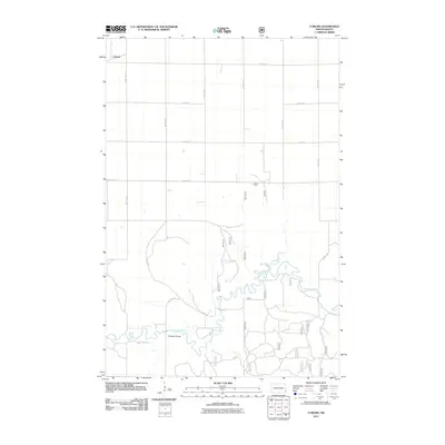
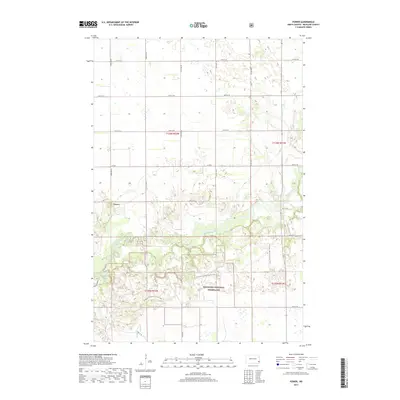
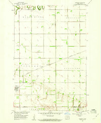 1959 Leonard1960 Print · USGSEastern North Dakota's prairie townships are captured here in the late fifties as the Northern Pacific railroad still defined the local economy. Genealogists and researchers can locate family landmarks such as Bethel Ch, West Prairie Ch, and the brick-industry footprints at the Claypit.
 - 1960 Map of Power, 1961 Print
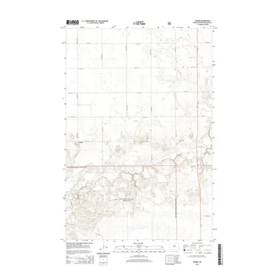
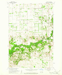 1960 Power1961 Print · USGSThe rural prairie of Richland County is captured here in the early sixties as the Sheyenne River winds through a network of established townships. Researchers can trace the mid-century footprints of the Power settlement, several country churches like Zion Ch, and the local Town Hall.
 - 1960 Map of Coburn, 1962 Print
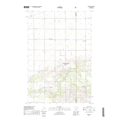
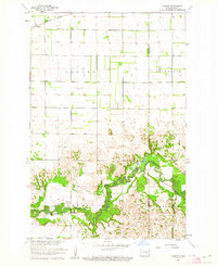 1960 Coburn1962 Print · USGSRansom County's prairie and river-valley landscape are captured here during the early sixties, showing the agricultural patterns of the Great Plains. Researchers can locate family landmarks like the Owego Ch, the Northern Pacific rail line, and the Vivasaker Bridge crossing.
 - 1961 Map of Sheldon NE, 1963 Print
 1961 Sheldon NE1963 Print · USGSSoutheast North Dakota’s prairie landscape was shaped by the winding Maple River and the transit lines of the early 1960s. Researchers can trace the legacy of pioneer settlements through the Northern Pacific rail line and family-history sites like Watson Cem and Leonard Cem.
 - 1986 Map of Casselton
 1986 Casselton1986 Print · USGSEastern North Dakota in the mid-1980s was a landscape defined by the intersection of the Sheyenne River and major rail lines. Researchers can trace the development of agricultural hubs like Enderlin and Casselton or locate the Griswold Mine and Memory Gardens Cem.2 unique versions available
 - 1989 Map of Fargo, 1990 Print
 1989 Fargo1990 Print · USGSThe Red River Valley at the end of the eighties shows a landscape of flourishing university towns and vital rail corridors. Researchers can trace family roots through Riverside Cem, find early campus layouts for North Dakota State University, or follow the Soo Line Railroad through West Fargo.
 - 1998 Map of Coburn, 2000 Print
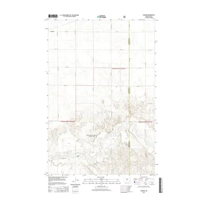
 1998 Coburn2000 Print · USGSRansom and Richland counties appear here in the late nineties, where the prairie gives way to the deep bends of the river. Genealogists and local historians can trace the rural landscape near Coburn and find the Owego Ch within the Sheyenne National Grassland.
 - 1998 Map of Power, 2000 Print
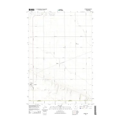
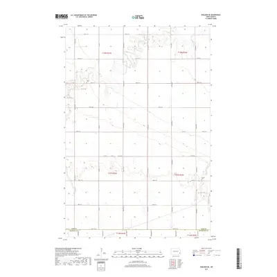
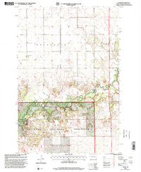 1998 Power2000 Print · USGSRichland County's prairie and river lowlands are captured here in the late twentieth century, showing the intersection of agricultural townships and protected lands. Genealogists can locate family landmarks like Helendale Ch, Barrie Ch, and the small community of Power.
 - 2011 Map of Power, 2011 Print
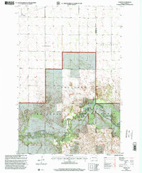
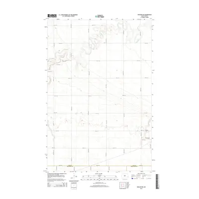
 2011 Power2011 Print · USGSCovers Helendale Township, including Barrie Township, Viking Township, and other nearby areas
 - 2011 Map of Sheldon NE, 2011 Print
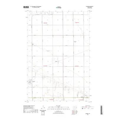
 2011 Sheldon NE2011 Print · USGSCovers Helendale Township, including Leonard, Coburn Township, and other nearby areas
 - 2011 Map of Leonard, 2011 Print
 2011 Leonard2011 Print · USGSCovers Helendale Township, including Leonard, Barrie Township, and other nearby areas
 - 2011 Map of Coburn, 2011 Print
 2011 Coburn2011 Print · USGSCovers Helendale Township, including Coburn Township, Sheyenne Township, and other nearby areas
 - 2014 Map of Coburn, 2014 Print
 2014 Coburn2014 Print · USGSCovers Helendale Township, including Coburn Township, Sheyenne Township, and other nearby areas
 - 2014 Map of Leonard, 2014 Print
 2014 Leonard2014 Print · USGSCovers Helendale Township, including Leonard, Barrie Township, and other nearby areas
 - 2014 Map of Sheldon NE, 2014 Print
 2014 Sheldon NE2014 Print · USGSCovers Helendale Township, including Leonard, Coburn Township, and other nearby areas
 - 2014 Map of Power, 2014 Print
 2014 Power2014 Print · USGSCovers Helendale Township, including Barrie Township, Viking Township, and other nearby areas
 - 2017 Map of Sheldon NE, 2017 Print
 2017 Sheldon NE2017 Print · USGSCovers Helendale Township, including Leonard, Coburn Township, and other nearby areas
 - 2017 Map of Power, 2017 Print
 2017 Power2017 Print · USGSCovers Helendale Township, including Barrie Township, Viking Township, and other nearby areas
 - 2017 Map of Leonard, 2017 Print
 2017 Leonard2017 Print · USGSCovers Helendale Township, including Leonard, Barrie Township, and other nearby areas
 - 2018 Map of Coburn, 2018 Print
 2018 Coburn2018 Print · USGSCovers Helendale Township, including Coburn Township, Sheyenne Township, and other nearby areas
 - 2020 Map of Leonard, 2020 Print
 2020 Leonard2020 Print · USGSCovers Helendale Township, including Leonard, Barrie Township, and other nearby areas
Showing maps 1-25 of 32
Top cities near Helendale Township
- Kindred historical maps
- Davenport historical maps
- Leonard historical maps
- Barrie Township historical maps
- Everest Township historical maps
- Durbin Township historical maps
See more
Top neighborhoods of Helendale Township
Frequently asked questions
- What are the different types of historical maps available for Helendale Township?
- What is the oldest map of Helendale Township?
- Where can I purchase historical maps of Helendale Township for my home or office?
- Where can I download high-res historical maps of Helendale Township?
- Are there historical topographic maps available for Helendale Township?
- Is there historical aerial imagery available for Helendale Township?
- Where are historical maps of Helendale Township sourced from?