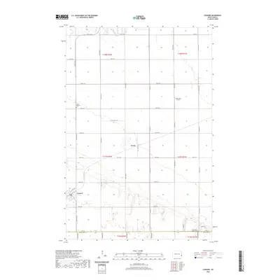
2020 Map of Leonard
USGS Topo · Published 2020About this map
Leonard stands as the primary settlement in this section of Cass County, where the grid of rural roads meets the winding path of the Maple River. This landscape is defined by its agricultural layout, punctuated by small community hubs and sacred sites such as the Bethel Moravian Cem and West Prairie Lutheran Cem. The presence of Plath Farms Airport and the small cluster at Woods further illustrates the intersection of family farming and local infrastructure. The map meticulously records the transition from Cass County into Richland County, showing how the drainage patterns of the Maple River influence the placement of sections and farmsteads. Researchers will find a clear documentation of the contemporary road network, including the precise alignments of Co Rd 9 S and Co Rd 14 as they service the surrounding townships.
Find a feature on this map
35 named features on this map. Tap any name to fly to it.
Don’t see what you’re looking for? This feature index may not catch every label — zoom into the map to look around manually.
Map Details
Editions of this 2020 Leonard Map
This is the sole edition of this map. No revisions or reprints were ever made.
Other maps of this area

1895 · Casselton
USGS Topo · 1:125,000

1897 · Casselton
USGS Topo · 1:125,000

1953 · Fargo
USGS Topo · 1:250,000

1956 · Fargo
USGS Topo · 1:250,000

1959 · Kindred
USGS Topo · 1:24,000

1959 · Leonard
USGS Topo · 1:24,000

1960 · Power
USGS Topo · 1:24,000

1960 · Barrie
USGS Topo · 1:24,000

1960 · Coburn
USGS Topo · 1:24,000

1961 · Durbin
USGS Topo · 1:24,000