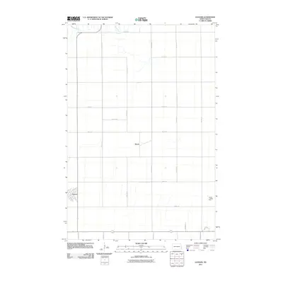
2011 Map of Leonard
USGS Topo · Published 2011About this map
The settlement of Leonard serves as the primary hub in this portion of Cass County, defined by its organized grid and proximity to the winding course of the Maple River. This landscape reflects the classic North Dakota section-line road system, where thoroughfares like 155th Ave SE and 46th St SE partition the territory into productive agricultural blocks. Evidence of small-town infrastructure and rural aviation is visible at the Andvik Landing Strip, situated southeast of the main town. The smaller community of Woods occupies a central position on the map, illustrating the sparse but deliberate distribution of residential clusters across the prairie. Local naming conventions are preserved in residential streets such as Lunder Ln and Bison View St, while the broader terrain remains largely dedicated to the river valley and open fields.
Find a feature on this map
25 named features on this map. Tap any name to fly to it.
Don’t see what you’re looking for? This feature index may not catch every label — zoom into the map to look around manually.
Map Details
Editions of this 2011 Leonard Map
This is the sole edition of this map. No revisions or reprints were ever made.
Other maps of this area

1895 · Casselton
USGS Topo · 1:125,000

1897 · Casselton
USGS Topo · 1:125,000

1953 · Fargo
USGS Topo · 1:250,000

1956 · Fargo
USGS Topo · 1:250,000

1959 · Kindred
USGS Topo · 1:24,000

1959 · Leonard
USGS Topo · 1:24,000

1960 · Power
USGS Topo · 1:24,000

1960 · Barrie
USGS Topo · 1:24,000

1960 · Coburn
USGS Topo · 1:24,000

1961 · Durbin
USGS Topo · 1:24,000