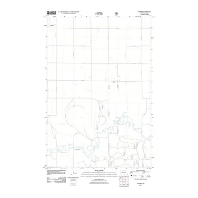
2011 Map of Coburn
USGS Topo · Published 2011About this map
Sheyenne River meanders across this prairie landscape, carving a deep, winding valley through the township. The settlement of Coburn sits in the northwestern corner, defined by a rigid grid of rural roads such as 55th St SE and 146th Ave SE. A notable crossing of the waterway occurs at Ylvisaker Bridge, providing a critical connection for the agricultural network of Ransom County. The terrain transitions from the flat, cultivated uplands into the complex oxbows and floodplains of the river valley. This 2011 survey documents the modern layout of the rural road system, including 61st St SE, illustrating how late 20th-century transportation infrastructure has adapted to the natural path of the river.
Find a feature on this map
14 named features on this map. Tap any name to fly to it.
Don’t see what you’re looking for? This feature index may not catch every label — zoom into the map to look around manually.
Map Details
Editions of this 2011 Coburn Map
This is the sole edition of this map. No revisions or reprints were ever made.
Other maps of this area

1895 · Casselton
USGS Topo · 1:125,000

1897 · Casselton
USGS Topo · 1:125,000

1907 · Wyndmere
USGS Topo · 1:125,000

1953 · Fargo
USGS Topo · 1:250,000

1956 · Fargo
USGS Topo · 1:250,000

1959 · Leonard
USGS Topo · 1:24,000

1960 · Power
USGS Topo · 1:24,000

1960 · Wyndmere NW
USGS Topo · 1:24,000

1960 · Coburn
USGS Topo · 1:24,000

1960 · Venlo
USGS Topo · 1:24,000