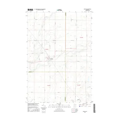
2015 Map of Sheldon
USGS Topo · Published 2015About this map
The Jump River and its various tributaries define the landscape of this region where Rusk, Chippewa, and Taylor Counties meet. The village of Sheldon serves as the local hub, established along a grid that includes Railroad Ave and Lacy St. To the south, the smaller community of Donald is situated near the Donald Cem and the banks of the Fisher River.
Find a feature on this map
55 named features on this map. Tap any name to fly to it.
Don’t see what you’re looking for? This feature index may not catch every label — zoom into the map to look around manually.
Map Details
Editions of this 2015 Sheldon Map
This is the sole edition of this map. No revisions or reprints were ever made.
Other maps of this area

1947 · Sheldon
USGS Topo · 1:48,000

1948 · Ladysmith
USGS Topo · 1:48,000

1949 · Sheldon
USGS Topo · 1:48,000

1950 · Ladysmith
USGS Topo · 1:48,000

1951 · Cornell
USGS Topo · 1:62,500

1951 · Gilman
USGS Topo · 1:62,500

1953 · Rice Lake
USGS Topo · 1:250,000

1959 · Rice Lake
USGS Topo · 1:250,000
1971 · Ladysmith
USGS Topo · 1:24,000
1971 · Jump River
USGS Topo · 1:24,000