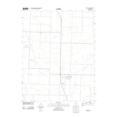
2011 Map of Sheldon
USGS Topo · Published 2011About this map
Sheldon serves as the central hub of this agricultural landscape in Vernon County, where the grid of rural routes like W Main St and 1st St Rd defines the local movement. The town is situated alongside several waterways including the winding Pleasant Run Creek and Little Clear Creek, which drain the surrounding prairie lands. Genealogists and local historians will find significant value in the distribution of family and community burial grounds throughout the area, including Bickett Cemetery to the north and Sheldon Cemetery just south of the town center.
Find a feature on this map
26 named features on this map. Tap any name to fly to it.
Don’t see what you’re looking for? This feature index may not catch every label — zoom into the map to look around manually.
Map Details
Editions of this 2011 Sheldon Map
This is the sole edition of this map. No revisions or reprints were ever made.
Other maps of this area

1886 · Nevada
USGS Topo · 1:125,000

1894 · Nevada
USGS Topo · 1:125,000

1933 · Camp Clark
USGS Topo · 1:24,000

1939 · Dederick
USGS Topo · 1:24,000

1939 · Moundville
USGS Topo · 1:24,000
1942 · Dederick
USGS Topo · 1:24,000
1942 · Moundville
USGS Topo · 1:24,000

1947 · Joplin
USGS Topo · 1:250,000
1948 · Nevada
USGS Topo · 1:24,000

1949 · Joplin
USGS Topo · 1:250,000