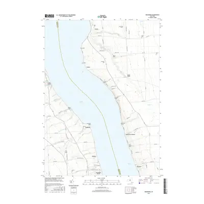
2016 Map of Sheldrake
USGS Topo · Published 2016About this map
The eastern and western shores of Cayuga Lake dominate this landscape, where the lake serves as a central divide between Seneca and Cayuga counties. On the eastern side, the historic village of Aurora is home to the campus of Wells College, situated near the cascading waters of Clifton Falls. The terrain here is marked by several deep ravines or gullies, including Beard Gully and Carter Gully, which channel water from the surrounding agricultural uplands down toward the lakefront.
Find a feature on this map
87 named features on this map. Tap any name to fly to it.
Don’t see what you’re looking for? This feature index may not catch every label — zoom into the map to look around manually.
Map Details
Editions of this 2016 Sheldrake Map
This is the sole edition of this map. No revisions or reprints were ever made.
Other maps of this area

1899 · Auburn
USGS Topo · 1:62,500

1902 · Geneva
USGS Topo · 1:62,500

1902 · Genoa
USGS Topo · 1:62,500

1902 · Ovid
USGS Topo · 1:62,500

1902 · Auburn
USGS Topo · 1:62,500

1942 · Ovid
USGS Topo · 1:31,680

1942 · Ludlowville
USGS Topo · 1:24,000

1942 · Lodi
USGS Topo · 1:24,000

1942 · Sheldrake
USGS Topo · 1:24,000

1942 · Genoa
USGS Topo · 1:24,000