Loading...
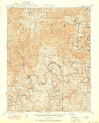
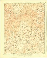
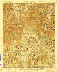
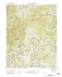
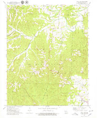
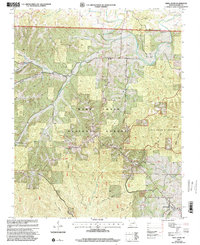
Loading map...1927 Map of Shell Knob
USGS Topo · Published 1950About this map
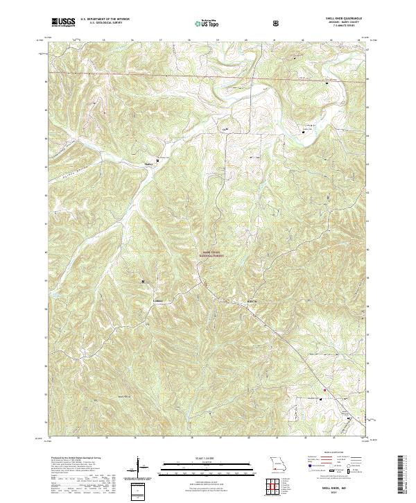
White River and its major tributaries, including the Kings River and James River, dominate this Missouri landscape as they appeared before the creation of modern reservoirs. The terrain is a complex network of high ridges like Shell Knob and Mineral Mountain, deeply incised by hollows and creek beds. This mid-century survey captures a rural Ozark economy reliant on river crossings, documented by numerous named fords such as Edwards Ford and Big Creek Ford, alongside the Schreiner Ferry.
Find a feature on this map
86 named features on this map. Tap any name to fly to it.
Don’t see what you’re looking for? This feature index may not catch every label — zoom into the map to look around manually.
Map Details
Date Portrayed1927
Date Published1950
PublisherU.S. Geological Survey
Map TypeTopographic
Scale1:62,500
Physical Dimensions16.9 x 20.8 inches
Editions of this 1927 Shell Knob Map
3 editions found
Historical Maps of Emerald Beach Through Time
8 maps found

Featured Locations
Source Details
SourceU.S. Geological Survey
CopyrightPublic Domain