
1950 Map of Shell Knob
USGS Topo · Published 1957About this map
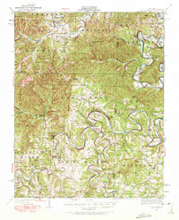
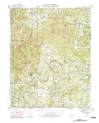
White River meanders in tight, dramatic loops through the Ozark landscape of southern Missouri in this 1950 highway revision. The map documents a riverside economy built on river crossings before the regional topography was significantly altered by mid-century dam projects. Numerous family-named crossings like Byron Carr Ford, Smith Ford, and Allen Ford provide a look at the vital transit points connecting isolated rural communities. The map is a record of a vanishing network of one-room schoolhouses, including New Hope School, Field School, and McCandless School, which served the scattered residents of Shell Knob and Golden. Notable landmarks such as Virgin Bluff and Schreiner Ferry further define the pre-inundation character of the river valley, while larger topographic features like Jenkins Mountain and Moccasin Gap anchor the surrounding timberlands and hollows.
Find a feature on this map
88 named features on this map. Tap any name to fly to it.
Don’t see what you’re looking for? This feature index may not catch every label — zoom into the map to look around manually.
Map Details
Editions of this 1950 Shell Knob Map
3 editions found
Other maps of this area

1900 · Eureka Springs
USGS Topo · 1:125,000

1901 · Eureka Springs
USGS Topo · 1:125,000

1904 · Harrison
USGS Topo · 1:125,000

1905 · Harrison
USGS Topo · 1:125,000

1907 · Forsyth
USGS Topo · 1:125,000

1927 · Shell Knob
USGS Topo · 1:62,500

1937 · Cassville
USGS Topo · 1:48,000

1942 · Aurora
USGS Topo · 1:62,500

1943 · Monett
USGS Topo · 1:62,500

1944 · Cassville
USGS Topo · 1:62,500