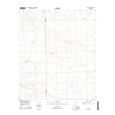
2015 Map of Shell Reef
USGS Topo · Published 2015About this map
The boundary between San Diego County and Imperial County cuts vertically through this arid landscape, where the shifting sands of the Imperial Valley meet the rising elevations of the desert floor. Water is the primary architect here, evidenced by the intricate branching of Tule Wash, Arroyo Salada, and the larger San Felipe Creek system to the south. Historically significant water sources like Five Palms Spring and Barrel Spring provide critical landmarks in a region otherwise defined by dry washes and geological formations like the fossil-rich Shell Reef. The presence of the Cahuilla Trail suggests long-standing transit corridors through the basin. In the southwest, Squaw Peak stands as a prominent topographical marker above the seasonal waters of Benson Lake, reflecting the extreme variations in desert hydrology.
Find a feature on this map
17 named features on this map. Tap any name to fly to it.
Don’t see what you’re looking for? This feature index may not catch every label — zoom into the map to look around manually.
Map Details
Editions of this 2015 Shell Reef Map
This is the sole edition of this map. No revisions or reprints were ever made.
Other maps of this area

1904 · Indio
USGS Topo · 1:125,000

1931 · Vallecito
USGS Topo · 1:125,000

1940 · Kane Spring
USGS Topo · 1:62,500

1940 · Durmid
USGS Topo · 1:62,500

1942 · Barrel Spring
USGS Topo · 1:62,500

1942 · Agua Dulce
USGS Topo · 1:62,500

1943 · Vallecito
USGS Topo · 1:125,000

1944 · Agua Dulce
USGS Topo · 1:62,500

1944 · Durmid
USGS Topo · 1:62,500

1944 · Kane Spring
USGS Topo · 1:62,500