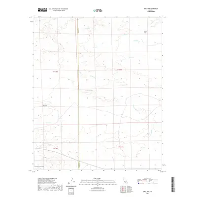
2021 Map of Shell Reef
USGS Topo · Published 2021About this map
Shell Reef stands as a prominent geological landmark within this arid section of the Colorado Desert, straddling the boundary between San Diego Co and Imperial Co. This modern topographic survey reveals a landscape dominated by complex drainage systems and subtle elevation changes, transitioning from the Lower Borrego Valley toward the western edge of the Imperial Valley. Water sources, while scarce, are critical historical and topographical markers here, evidenced by the presence of Five Palms Spring and Barrel Spring. The terrain is defined by numerous seasonal waterways such as Tule Wash, Arroyo Salada, and San Felipe Cr, which have sculpted the land over millennia. To the west, the rise toward Squaw Peak provides a stark contrast to the sprawling lowlands and washes that characterize the central and eastern portions of the quadrangle.
Find a feature on this map
16 named features on this map. Tap any name to fly to it.
Don’t see what you’re looking for? This feature index may not catch every label — zoom into the map to look around manually.
Map Details
Editions of this 2021 Shell Reef Map
This is the sole edition of this map. No revisions or reprints were ever made.
Other maps of this area

1904 · Indio
USGS Topo · 1:125,000

1931 · Vallecito
USGS Topo · 1:125,000

1940 · Kane Spring
USGS Topo · 1:62,500

1940 · Durmid
USGS Topo · 1:62,500

1942 · Barrel Spring
USGS Topo · 1:62,500

1942 · Agua Dulce
USGS Topo · 1:62,500

1943 · Vallecito
USGS Topo · 1:125,000

1944 · Agua Dulce
USGS Topo · 1:62,500

1944 · Durmid
USGS Topo · 1:62,500

1944 · Kane Spring
USGS Topo · 1:62,500