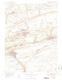
1950 Map of Shenandoah
USGS Topo · Published 1950About this map
Shenandoah and Mahanoy City anchor this mid-century look at the Pennsylvania coal region, where the industrial landscape of the Mahanoy Valley is etched into the terrain. The map reveals the intricate infrastructure required for anthracite mining, featuring the Mahanoy Plane and an extensive network of Reading and Pennsylvania railroad lines. Settlement patterns are densely packed into the valleys and along the base of Locust Mountain and Bear Ridge, with neighborhoods like West William Penn, West Mahanoy, and Yatesville serving as hubs for local labor.
Find a feature on this map
86 named features on this map. Tap any name to fly to it.
Don’t see what you’re looking for? This feature index may not catch every label — zoom into the map to look around manually.
Map Details
Editions of this 1950 Shenandoah Map
2 editions found
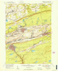
Other maps of this area

1889 · Catawissa
USGS Topo · 1:62,500

1889 · Pottsville
USGS Topo · 1:62,500

1891 · Pottsville
USGS Topo · 1:62,500

1892 · Catawissa
USGS Topo · 1:62,500

1892 · Mahanoy
USGS Topo · 1:62,500

1892 · Pine Grove
USGS Topo · 1:62,500
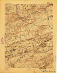
1893 · Mahanoy
USGS Topo · 1:62,500
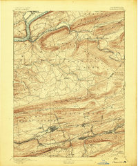
1894 · Catawissa
USGS Topo · 1:62,500
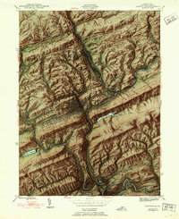
1944 · Pottsville
USGS Topo · 1:24,000
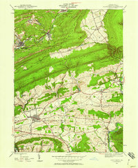
1944 · Orwigsburg
USGS Topo · 1:24,000