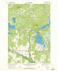
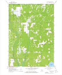
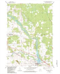
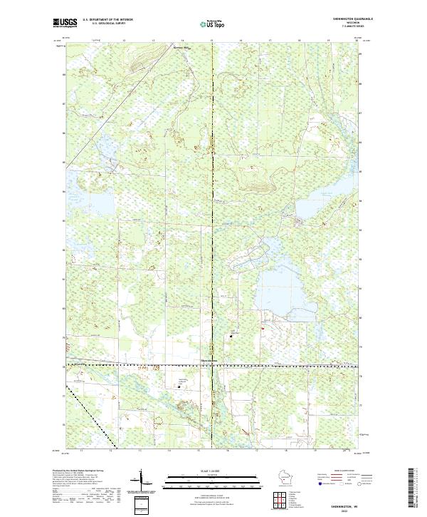
1970 Map of Shennington
USGS Topo · Published 1972About this map
The Chicago and North Western railroad bisects this landscape of Central Wisconsin, passing through the small community of Shennington as it runs parallel to a series of extensive wetlands and managed flowages. The topography is defined by the sharp rise of Norway Ridge, which reaches its peak at the Norway Ridge Lookout Tower overlooking the sprawling Meadow Valley State Wildlife Area. This 1970s survey captures a rural environment where land use is dictated by the high water table, featuring large-scale commercial cranberry production at the Cranberry Bog and significant water management via the Eagle Nest Flowage and Monroe County Flowage. Historical indicators of the local community include the Adventist Ch, St Johns Cem, and St Peters Cem, while the Potter Landing Strip and Holiday Landing Strip reflect the logistical needs of this low-lying, swampy terrain.
Find a feature on this map
33 named features on this map. Tap any name to fly to it.
Don’t see what you’re looking for? This feature index may not catch every label — zoom into the map to look around manually.
Map Details
Editions of this 1970 Shennington Map
This is the sole edition of this map. No revisions or reprints were ever made.
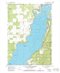
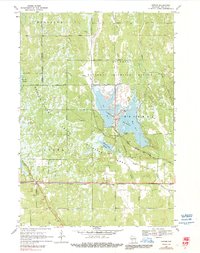
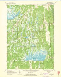
Historical Maps of Cutler Through Time
22 maps found
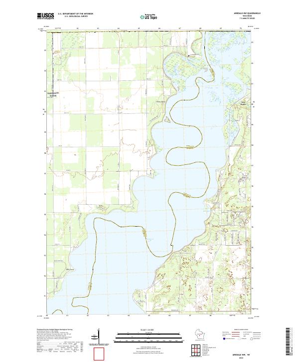
1969 Arkdale NW
Juneau County, WI
1969 Cutler
Juneau County, WI
1969 Finley
Juneau County, WI
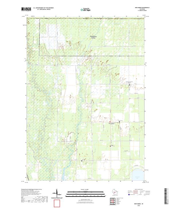
1969 New Miner
Juneau County, WI
1970 Mather
Juneau County, WI
1970 Shennington
Juneau County, WI
1975 Potato Hill
Juneau County, WI
1983 Kelly
Juneau County, WI
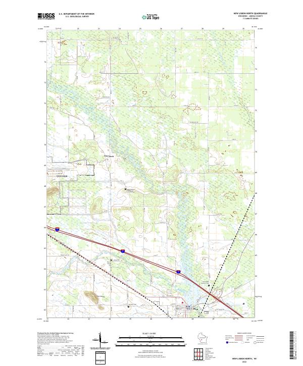
1983 New Lisbon North
Juneau County, WI
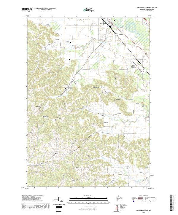
1983 New Lisbon South
Juneau County, WI
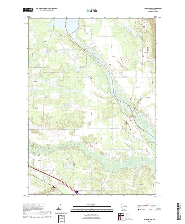
1983 Round Bluff
Juneau County, WI
2022 Arkdale NW
Juneau County, WI
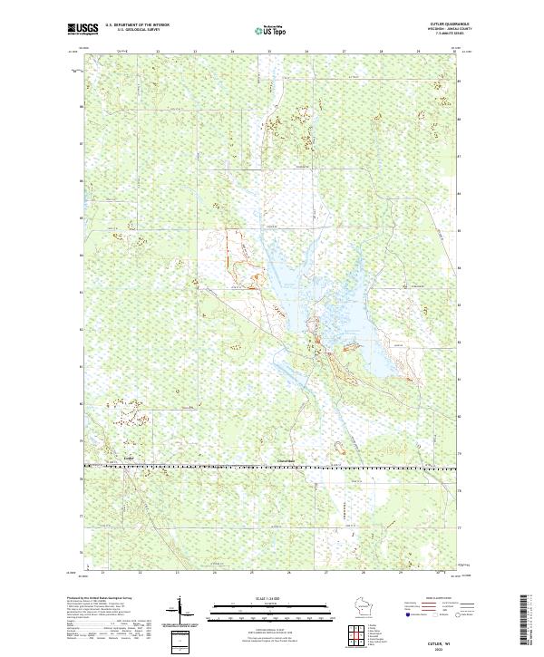
2022 Cutler
Juneau County, WI
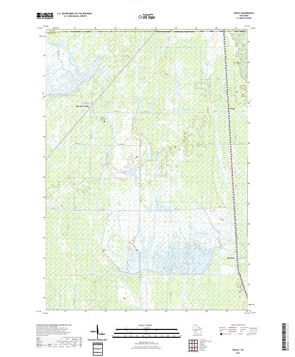
2022 Finley
Juneau County, WI
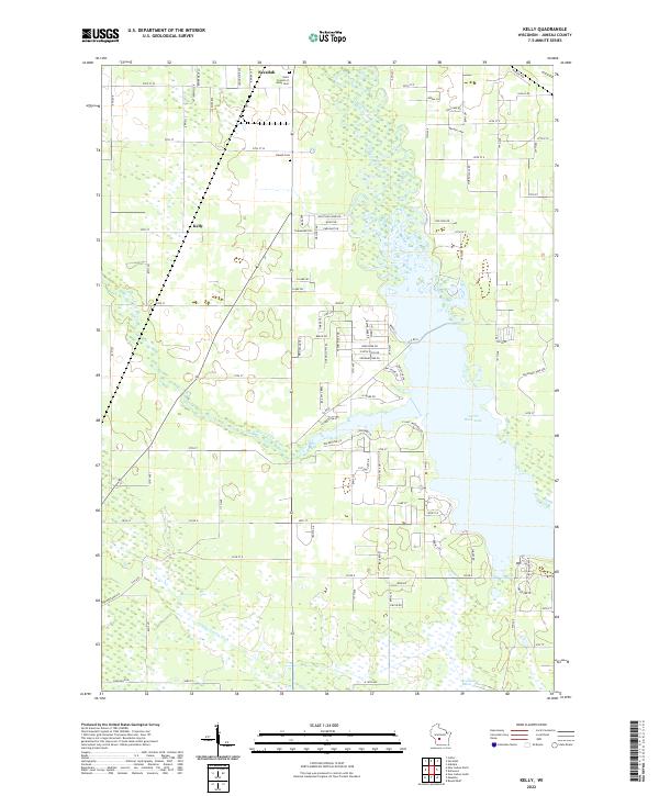
2022 Kelly
Juneau County, WI
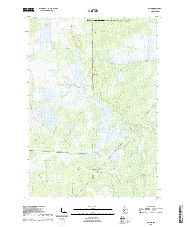
2022 Mather
Juneau County, WI
2022 New Lisbon North
Juneau County, WI
2022 New Lisbon South
Juneau County, WI
2022 New Miner
Juneau County, WI
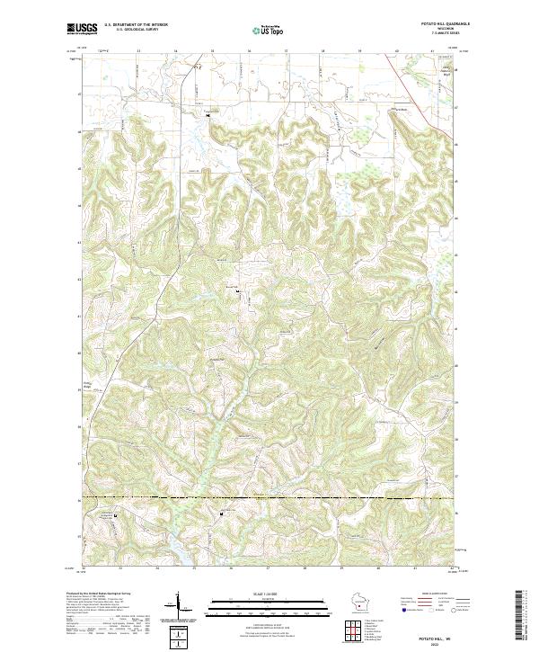
2022 Potato Hill
Juneau County, WI
2022 Round Bluff
Juneau County, WI
2022 Shennington
Juneau County, WI