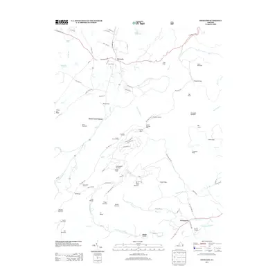
2013 Map of Sherando
USGS Topo · Published 2013About this map
Mount Torry Furnace stands as a focal point in this high-altitude landscape, situated where the S Fork Back Cr meets the rising slopes of Torry Mountain. The topography is defined by the steep transition from the Big Levels plateau down into the deep drainages of Mills Cr and Back Cr. This area reflects a specialized mountain economy and recreation pattern, where historic industrial sites and trails like the Mills Creek Trl share the terrain with modern developments.
Find a feature on this map
91 named features on this map. Tap any name to fly to it.
Don’t see what you’re looking for? This feature index may not catch every label — zoom into the map to look around manually.
Map Details
Editions of this 2013 Sherando Map
This is the sole edition of this map. No revisions or reprints were ever made.
Other maps of this area

1892 · Buckingham
USGS Topo · 1:125,000

1892 · Harrisonburg
USGS Topo · 1:125,000

1894 · Staunton
USGS Topo · 1:125,000

1894 · Lexington
USGS Topo · 1:125,000

1934 · Waynesboro
USGS Topo · 1:48,000

1936 · Vesuvius
USGS Topo · 1:48,000

1939 · Waynesboro
USGS Topo · 1:62,500

1941 · Vesuvius
USGS Topo · 1:62,500

1943 · Lovingston
USGS Topo · 1:62,500

1944 · Staunton
USGS Topo · 1:62,500