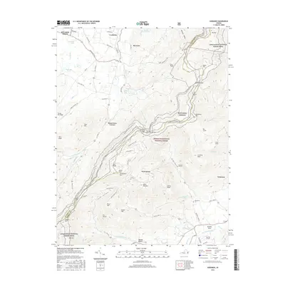
2016 Map of Sherando
USGS Topo · Published 2016About this map
Mount Torry Furnace and the high ridges of the George Washington National Forest define the rugged topography along the Augusta and Nelson County border. This 2016 survey details the complex interface between the wilderness of the Appalachian National Scenic Trail and the development of Wintergreen. To the east, the S Fork Rockfish River drains the valley toward Nellysford and the Rockfish Airpark, while the western slopes near Stuarts Draft feature unique hydrological elements like the Maple Flat Ponds. The Blue Ridge Parkway snakes along the crest, passing landmarks such as Humpback Mtn and the The Rocks. Local heritage is preserved at Diamond Hill Cem and the Wintergreen Cem, offering points of interest for genealogists tracing family ties in the Virginia mountains.
Find a feature on this map
94 named features on this map. Tap any name to fly to it.
Don’t see what you’re looking for? This feature index may not catch every label — zoom into the map to look around manually.
Map Details
Editions of this 2016 Sherando Map
This is the sole edition of this map. No revisions or reprints were ever made.
Other maps of this area

1892 · Buckingham
USGS Topo · 1:125,000

1892 · Harrisonburg
USGS Topo · 1:125,000

1894 · Staunton
USGS Topo · 1:125,000

1894 · Lexington
USGS Topo · 1:125,000

1934 · Waynesboro
USGS Topo · 1:48,000

1936 · Vesuvius
USGS Topo · 1:48,000

1939 · Waynesboro
USGS Topo · 1:62,500

1941 · Vesuvius
USGS Topo · 1:62,500

1943 · Lovingston
USGS Topo · 1:62,500

1944 · Staunton
USGS Topo · 1:62,500