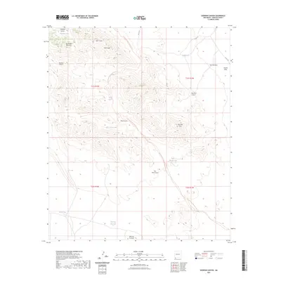
2023 Map of Sheridan Canyon
USGS Topo · Published 2023About this map
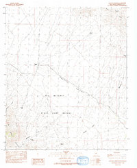
The Big Hatchet Mountains and their intricate drainage systems define this high-desert landscape in the southwestern corner of New Mexico. The terrain is marked by a complex network of arroyos and canyons, including Thompson Canyon, Dark Canyon, and Mine Canyon, which channel seasonal runoff toward the Hachita Valley in the east. Human infrastructure in this arid environment is primarily centered on water management for livestock and wildlife, evidenced by numerous tanks like Hale Tank, Double Tank, and Mine Canyon Tank. The presence of New Well Draw and the prominence of New Well Peak suggest historical efforts to tap into deeper aquifers. Traversing the ridges and basins is the Continental Divide National Scenic Trl, which follows the spine of the continent past landmarks such as Bugle Ridge and down into the southern flats near Little Top Hot Butte.
Find a feature on this map
26 named features on this map. Tap any name to fly to it.
Don’t see what you’re looking for? This feature index may not catch every label — zoom into the map to look around manually.
Map Details
Editions of this 2023 Sheridan Canyon Map
This is the sole edition of this map. No revisions or reprints were ever made.
Other maps of this area

1918 · Big Hatchet Peak
USGS Topo · 1:62,500

1918 · Dog Mountains
USGS Topo · 1:62,500

1955 · Douglas
USGS Topo · 1:250,000

1959 · Douglas
USGS Topo · 1:250,000

1961 · Douglas
USGS Topo · 1:250,000

1964 · Douglas
USGS Topo · 1:250,000
1982 · Big Hatchet Peak
USGS Topo · 1:24,000
1982 · Sheridan Canyon
USGS Topo · 1:24,000
1982 · Pierce Peak
USGS Topo · 1:24,000
1982 · Hatchet Ranch
USGS Topo · 1:24,000