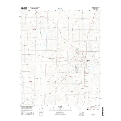
2014 Map of Sheridan
USGS Topo · Published 2014About this map
The Grant County seat of Sheridan serves as the central hub of this 2014 survey, where the convergence of Ar-35 N and several US highways meets a complex network of local routes like Grant 3515 Rd. The town is bordered by the winding path of Town Br and Big Cr to the east, while the smaller settlement of Slabtown sits just to the south. This modern topographic record captures the transition between the urban street grid and the surrounding timbered land and creek bottoms.
Find a feature on this map
144 named features on this map. Tap any name to fly to it.
Don’t see what you’re looking for? This feature index may not catch every label — zoom into the map to look around manually.
Map Details
Editions of this 2014 Sheridan Map
This is the sole edition of this map. No revisions or reprints were ever made.
Other maps of this area

1955 · Little Rock
USGS Topo · 1:250,000

1956 · Little Rock
USGS Topo · 1:250,000

1960 · Little Rock
USGS Topo · 1:250,000

1963 · Prattsville
USGS Topo · 1:24,000
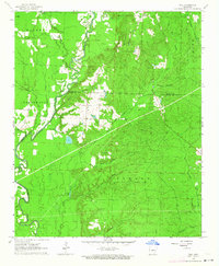
1963 · Tull
USGS Topo · 1:24,000

1964 · Little Rock
USGS Topo · 1:250,000

1964 · Sheridan
USGS Topo · 1:24,000

1964 · Cane Creek
USGS Topo · 1:24,000

1964 · Belfast
USGS Topo · 1:24,000
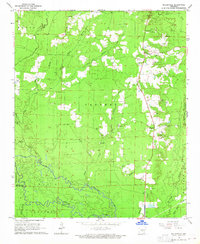
1964 · Millerville
USGS Topo · 1:24,000