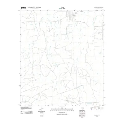
2010 Map of Sheridan
USGS Topo · Published 2010About this map
Sheridan anchors the northern portion of this South Texas landscape, where a dense network of local roads and watercourses defines the region's agricultural and industrial character. The terrain is crisscrossed by numerous seasonal and perennial streams, including West Sandy Creek and Middle Sandy Creek, alongside the diverging paths of East Ragsdale Creek and West Ragsdale Creek. These waterways dictate the layout of rural routes such as Possum Walk Rd and Briscoe Ranch Rd.
Find a feature on this map
32 named features on this map. Tap any name to fly to it.
Don’t see what you’re looking for? This feature index may not catch every label — zoom into the map to look around manually.
Map Details
Editions of this 2010 Sheridan Map
This is the sole edition of this map. No revisions or reprints were ever made.
Other maps of this area

1919 · Schulenburg
USGS Topo · 1:62,500

1953 · Seguin
USGS Topo · 1:250,000

1956 · Glidden
USGS Topo · 1:62,500

1958 · Seguin
USGS Topo · 1:250,000

1962 · Sublime
USGS Topo · 1:24,000

1962 · Hallettsville SE
USGS Topo · 1:24,000

1964 · Speaks
USGS Topo · 1:24,000

1965 · Oakland
USGS Topo · 1:24,000

1965 · Sawmill Branch
USGS Topo · 1:24,000

1965 · Rock Island
USGS Topo · 1:24,000