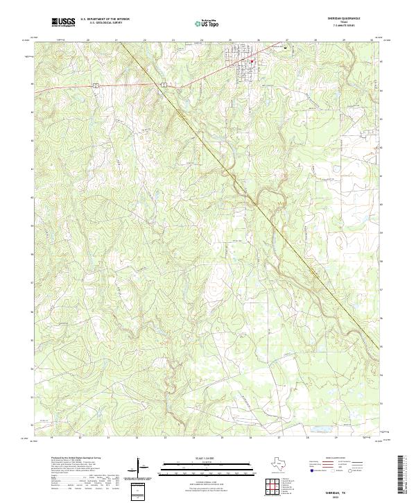
2022 Map of Sheridan
USGS Topo · Published 2022About this map
Cheetham Cem sits near the northern edge of this landscape, serving as a significant genealogical landmark in a region defined by its complex drainage systems. The map illustrates the rural boundary between Colorado Co and Lavaca Co, a line that cuts diagonally through the terrain. This area is heavily defined by the winding paths of West Sandy Creek and its many tributaries, including Middle Sandy Creek and W Sandy Cr. These waterways create a low-lying, intricate network that likely influenced the historical placement of roads and property lines.
Find a feature on this map
66 named features on this map. Tap any name to fly to it.
Don’t see what you’re looking for? This feature index may not catch every label — zoom into the map to look around manually.
Map Details
Editions of this 2022 Sheridan Map
This is the sole edition of this map. No revisions or reprints were ever made.
Other maps of this area

1919 · Schulenburg
USGS Topo · 1:62,500

1953 · Seguin
USGS Topo · 1:250,000

1956 · Glidden
USGS Topo · 1:62,500

1958 · Seguin
USGS Topo · 1:250,000

1962 · Sublime
USGS Topo · 1:24,000

1962 · Hallettsville SE
USGS Topo · 1:24,000

1964 · Speaks
USGS Topo · 1:24,000

1965 · Oakland
USGS Topo · 1:24,000

1965 · Sawmill Branch
USGS Topo · 1:24,000

1965 · Rock Island
USGS Topo · 1:24,000