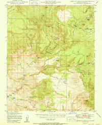
1950 Map of Sheridan Mountain
USGS Topo · Published 1950About this map
The Prescott National Forest landscape in Yavapai County is defined by a network of working ranches and high mesas. This mid-century survey reveals a territory where ranching life was anchored at isolated outposts such as Dumbbell Ranch, Muleshoe Ranch, and Yolo Cabin. The topography is dominated by extensive tablelands, including Smith Mesa, Cedar Mesa, and Sycamore Mesa, which rise above a rugged drainage system of creeks and canyons.
Find a feature on this map
45 named features on this map. Tap any name to fly to it.
Don’t see what you’re looking for? This feature index may not catch every label — zoom into the map to look around manually.
Map Details
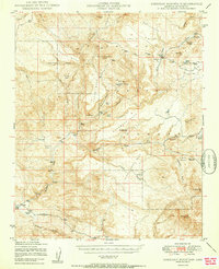
Editions of this 1950 Sheridan Mountain Map
2 editions found
Other maps of this area

1887 · Prescott
USGS Topo · 1:250,000

1892 · Prescott
USGS Topo · 1:250,000

1903 · Congress
USGS Topo · 1:125,000

1904 · Congress
USGS Topo · 1:125,000

1923 · Signal
USGS Topo · 1:250,000

1942 · Signal
USGS Topo · 1:250,000

1945 · Bagdad
USGS Topo · 1:62,500

1947 · Simmons
USGS Topo · 1:62,500

1947 · Iron Springs
USGS Topo · 1:62,500

1947 · Kirkland
USGS Topo · 1:62,500