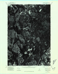
1975 Map of Sherman NW
USGS Topo · Published 1980About this map
Patten occupies the northern edge of this orthophotoquad, serving as a hub for the surrounding agricultural and timber lands of Penobscot County during the mid-1970s. The aerial imagery captures a distinct transition from the concentrated residential blocks and local roads of the village to the expansive, patchwork fields that dominate the central landscape. Traveling south along the main thoroughfare, the terrain gives way to the smaller settlement at Sherman Station, which is situated near the winding course of the East Branch Molunkus Stream. This drainage system, along with the nearby locality of Siberia, defines the drainage patterns and historical land use of the region, where the interplay between managed woodlots and cleared farm acreage reflects the local economy of northern Maine.
Find a feature on this map
4 named features on this map. Tap any name to fly to it.
Don’t see what you’re looking for? This feature index may not catch every label — zoom into the map to look around manually.
Map Details
Editions of this 1975 Sherman NW Map
This is the sole edition of this map. No revisions or reprints were ever made.
Other maps of this area

1940 · Island Falls
USGS Topo · 1:62,500

1940 · Sherman
USGS Topo · 1:62,500

1942 · Island Falls
USGS Topo · 1:62,500

1942 · Sherman
USGS Topo · 1:62,500

1953 · Stacyville
USGS Topo · 1:62,500

1954 · Shin Pond
USGS Topo · 1:62,500

1954 · Presque Isle
USGS Topo · 1:250,000

1954 · Millinocket
USGS Topo · 1:250,000

1958 · Presque Isle
USGS Topo · 1:250,000

1958 · Millinocket
USGS Topo · 1:250,000