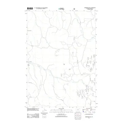
2012 Map of Sherrard Hill
USGS Topo · Published 2012About this map
Fort Ranch serves as a lone named settlement hub in this 2012 survey of the high ground between the forks of Lytle Cr. The landscape is dominated by significant elevations including Sherrard Hill, Manly Hill, and Newton Hill, which overlook a network of creek beds and canyons. These include the prominent Nelson Canyon to the west and the Brimmer Divide marking the northern terrain. The mapping reveals a detailed infrastructure of forest roads and county routes, such as Bear Lodge Rd and Hulett Rd, which weave through the complex topography. In the northeast, the waters of Blacktail Cr feed into the Blacktail Reservoir, while the southern reaches are defined by the convergence of W Lytle Cr and the main branch of Lytle Cr. This record of Crook County geography illustrates the modern balance of ranching operations and natural drainage patterns in the region.
Find a feature on this map
36 named features on this map. Tap any name to fly to it.
Don’t see what you’re looking for? This feature index may not catch every label — zoom into the map to look around manually.
Map Details
Editions of this 2012 Sherrard Hill Map
This is the sole edition of this map. No revisions or reprints were ever made.
Other maps of this area

1898 · Sundance
USGS Topo · 1:125,000

1901 · Aladdin
USGS Topo · 1:125,000

1902 · Sundance
USGS Topo · 1:125,000

1903 · Aladdin
USGS Topo · 1:125,000

1905 · Devils Tower
USGS Topo · 1:125,000

1918 · Moorcroft
USGS Topo · 1:125,000

1954 · Sunny Divide
USGS Topo · 1:24,000

1954 · Storm Hill
USGS Topo · 1:24,000

1954 · Gillette
USGS Topo · 1:250,000

1955 · Devils Tower
USGS Topo · 1:62,500