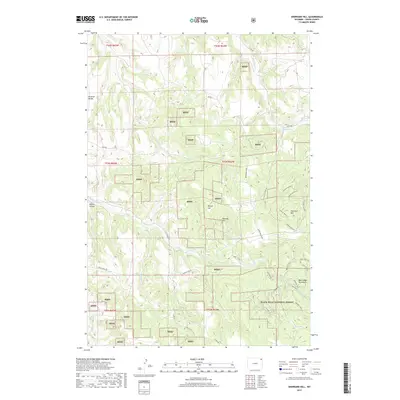
2017 Map of Sherrard Hill
USGS Topo · Published 2017About this map
The Bear Lodge Mountains define this section of the Black Hills National Forest in Crook County. High-altitude landmarks such as Sherrard Hill, Manly Hill, and Newton Hill punctuate the landscape, while the Brimmer Divide serves as a prominent geographic spine. These peaks are drained by a network of waterways including Blacktail Cr, which feeds into the Blacktail Reservoir, as well as Lytle Cr and W Lytle Cr. The map reveals a complex web of mountain access routes, including Bear Lodge Rd and the extensive Hershey Branch system, such as Hershey Branch 1T. This late-era survey documents the modern management of the forest lands, showing the patchwork of Bhnf holdings and the detailed Forest Service road infrastructure that replaced earlier pioneer trails.
Find a feature on this map
42 named features on this map. Tap any name to fly to it.
Don’t see what you’re looking for? This feature index may not catch every label — zoom into the map to look around manually.
Map Details
Editions of this 2017 Sherrard Hill Map
This is the sole edition of this map. No revisions or reprints were ever made.
Other maps of this area

1898 · Sundance
USGS Topo · 1:125,000

1901 · Aladdin
USGS Topo · 1:125,000

1902 · Sundance
USGS Topo · 1:125,000

1903 · Aladdin
USGS Topo · 1:125,000

1905 · Devils Tower
USGS Topo · 1:125,000

1918 · Moorcroft
USGS Topo · 1:125,000

1954 · Sunny Divide
USGS Topo · 1:24,000

1954 · Storm Hill
USGS Topo · 1:24,000

1954 · Gillette
USGS Topo · 1:250,000

1955 · Devils Tower
USGS Topo · 1:62,500