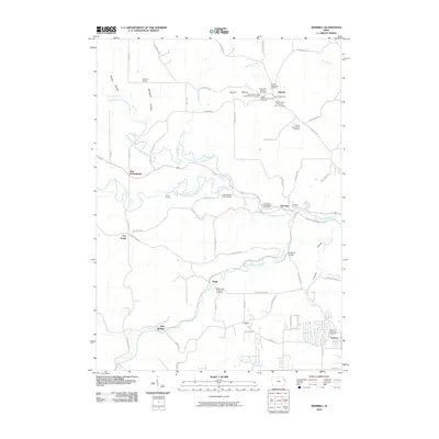
2010 Map of Sherrill
USGS Topo · Published 2010About this map
Sherrill serves as a central hub for this portion of Dubuque County, where a dense concentration of religious and fraternal history is preserved in its local landscape. The settlement is home to the Sherrill United Church of Christ, the Sherrill Post Office, and several burial grounds including the Saint Peter and Paul Cemetery and the International Order of Odd Fellows Cemetery. The topography is defined by the winding paths of the North Fork Little Maquoketa River and Middle Fork Little Maquoketa River, which carve through the terrain near East Rickardsville and Five Points. This 2010 survey highlights a rural landscape shaped by narrow hollows like Stegar Hollow and Mangold Hollow, where the Mangold School once stood. Further south, the community of Asbury marks the transition toward more developed areas, anchored by the Asbury Methodist Cemetery.
Find a feature on this map
67 named features on this map. Tap any name to fly to it.
Don’t see what you’re looking for? This feature index may not catch every label — zoom into the map to look around manually.
Map Details
Editions of this 2010 Sherrill Map
This is the sole edition of this map. No revisions or reprints were ever made.
Other maps of this area

1900 · Lancaster
USGS Topo · 1:125,000

1901 · Peosta
USGS Topo · 1:125,000

1904 · Lancaster
USGS Topo · 1:125,000

1908 · Lancaster
USGS Topo · 1:125,000

1935 · East Dubuque
USGS Topo · 1:62,500

1940 · East Dubuque
USGS Topo · 1:62,500

1955 · Cassville
USGS Topo · 1:24,000

1955 · Dubuque South
USGS Topo · 1:24,000

1955 · Balltown
USGS Topo · 1:24,000

1956 · Dubuque North
USGS Topo · 1:24,000