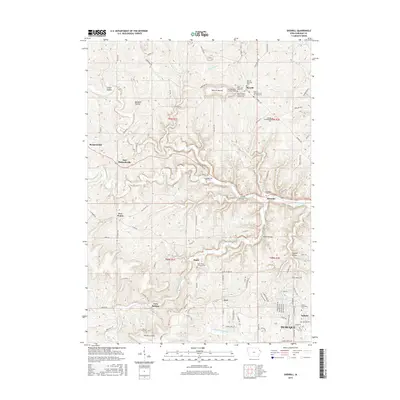
2015 Map of Sherrill
USGS Topo · Published 2015About this map
The Little Maquoketa River winds through a deeply dissected landscape north of Dubuque, carving a valley that defines the region's early settlement patterns. This area is notably dense with small historic cemeteries, reflecting the intricate community and denominational roots of Dubuque County. Settlements such as Sherrill, Rickardsville, and Durango are linked by a network of ridge-top roads and creek-bed crossings, including the Rodford Bridge.
Find a feature on this map
103 named features on this map. Tap any name to fly to it.
Don’t see what you’re looking for? This feature index may not catch every label — zoom into the map to look around manually.
Map Details
Editions of this 2015 Sherrill Map
This is the sole edition of this map. No revisions or reprints were ever made.
Other maps of this area

1900 · Lancaster
USGS Topo · 1:125,000

1901 · Peosta
USGS Topo · 1:125,000

1904 · Lancaster
USGS Topo · 1:125,000

1908 · Lancaster
USGS Topo · 1:125,000

1935 · East Dubuque
USGS Topo · 1:62,500

1940 · East Dubuque
USGS Topo · 1:62,500

1955 · Cassville
USGS Topo · 1:24,000

1955 · Dubuque South
USGS Topo · 1:24,000

1955 · Balltown
USGS Topo · 1:24,000

1956 · Dubuque North
USGS Topo · 1:24,000