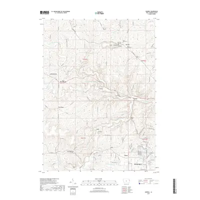
2018 Map of Sherrill
USGS Topo · Published 2018About this map
The Little Maquoketa River and its multiple forks carve through the landscape northwest of Dubuque, defining the settlement patterns of this Iowa upland. Higher ground near the village of Sherrill is punctuated by the prominent Sherrill Mound, a landmark surrounded by an unusual density of religious and fraternal burial sites, including the International Order of Odd Fellows Cem and the Sherrill United Church of Christ Cem.
Find a feature on this map
117 named features on this map. Tap any name to fly to it.
Don’t see what you’re looking for? This feature index may not catch every label — zoom into the map to look around manually.
Map Details
Editions of this 2018 Sherrill Map
This is the sole edition of this map. No revisions or reprints were ever made.
Other maps of this area

1900 · Lancaster
USGS Topo · 1:125,000
1901 · Peosta
USGS Topo · 1:125,000

1904 · Lancaster
USGS Topo · 1:125,000

1908 · Lancaster
USGS Topo · 1:125,000
1935 · East Dubuque
USGS Topo · 1:62,500
1940 · East Dubuque
USGS Topo · 1:62,500
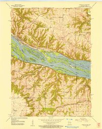
1955 · Cassville
USGS Topo · 1:24,000
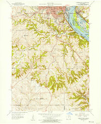
1955 · Dubuque South
USGS Topo · 1:24,000
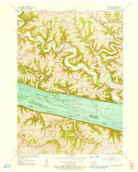
1955 · Balltown
USGS Topo · 1:24,000
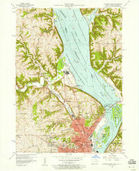
1956 · Dubuque North
USGS Topo · 1:24,000