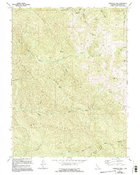
1967 Map of Sherwood Peak
USGS Topo · Published 1994About this map
Sherwood Peak and the high ridges of Mendocino County dominate this 1960s survey, updated with late-1980s data to show the evolving network of forest roads and land clearings. The landscape is defined by the headwaters of major drainage systems, including the South Fork Eel River and the complex branching of the North Fork Ten Mile River and Middle Fork Ten Mile River. Traces of ranching and early logging are evident in features like Clarke Ranch and high-elevation clearings such as Case Opening and Ames Opening. The historical Sherwood Road winds through the terrain, connecting the upland forests to Sherwood Valley. This map documents a period when these interior ridges were primarily used for timber and grazing, providing a detailed look at the drainage patterns of Bucha Ridge and Smith Ridge.
Find a feature on this map
31 named features on this map. Tap any name to fly to it.
Don’t see what you’re looking for? This feature index may not catch every label — zoom into the map to look around manually.
Map Details
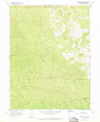
Editions of this 1967 Sherwood Peak Map
2 editions found
Other maps of this area

1920 · Glenblair
USGS Topo · 1:62,500

1921 · Branscomb
USGS Topo · 1:62,500

1922 · Willits
USGS Topo · 1:62,500

1942 · Willits
USGS Topo · 1:62,500

1943 · Glenblair
USGS Topo · 1:62,500

1944 · Willits
USGS Topo · 1:62,500

1951 · Branscomb
USGS Topo · 1:62,500

1951 · Laytonville
USGS Topo · 1:62,500

1957 · Ukiah
USGS Topo · 1:250,000

1960 · Ukiah
USGS Topo · 1:250,000