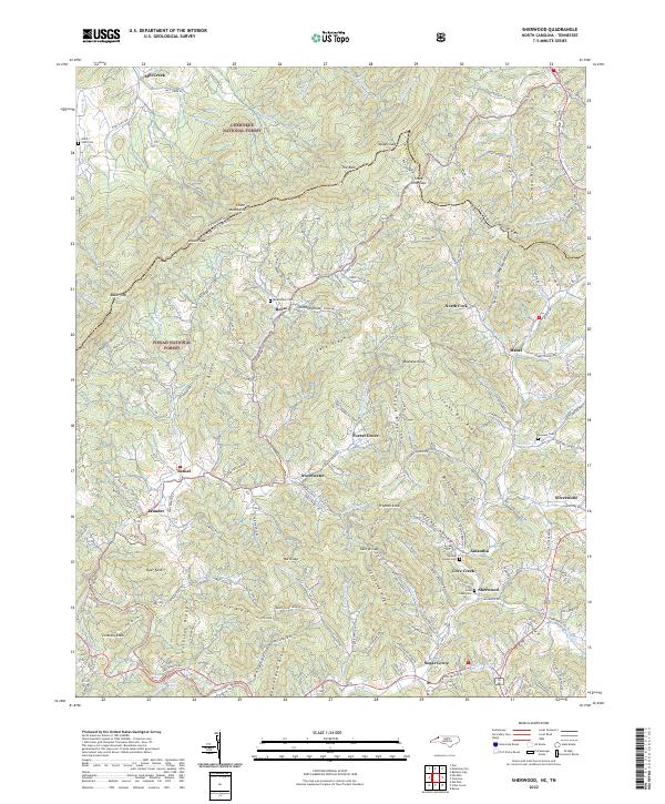
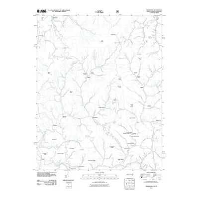
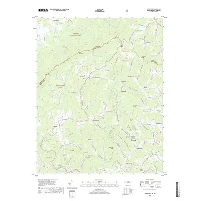
2022 Map of Sherwood
USGS Topo · Published 2022About this map
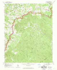
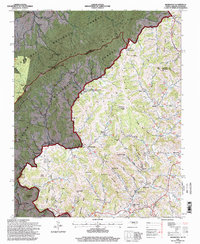
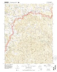
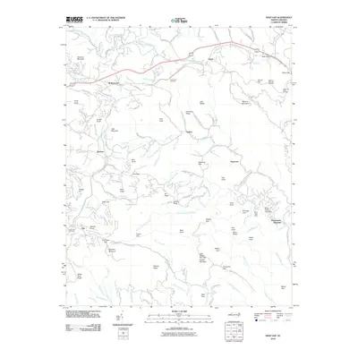
The Tennessee North Carolina border carves a high ridge line through the heart of the Appalachian high country, where the Stone Mountains and Pisgah National Forest converge. This 2022 survey documents a landscape defined by deep hollows and steep ridges, such as Snake Den Ridge and Frozenhead Ridge, which funnel numerous tributaries into the Watauga River. The settlement pattern follows these narrow valley floors, with small communities like Sherwood, Sugar Grove, and Amantha established near the winding course of Cove Creek.
Find a feature on this map
146 named features on this map. Tap any name to fly to it.
Don’t see what you’re looking for? This feature index may not catch every label — zoom into the map to look around manually.
Map Details
Editions of this 2022 Sherwood Map
This is the sole edition of this map. No revisions or reprints were ever made.
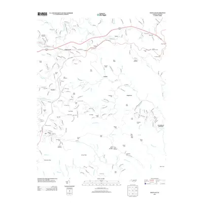
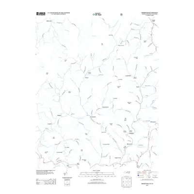
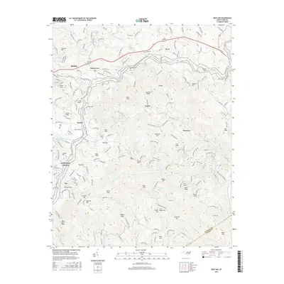
Historical Maps of Sweetwater Through Time
19 maps found

1893 Cranberry
Watauga County, NC

1895 Cranberry
Watauga County, NC

1899 Cranberry
Watauga County, NC
1902 Cranberry
Watauga County, NC
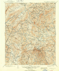
1935 Sherwood
Watauga County, NC
1938 Sherwood
Watauga County, NC
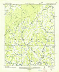
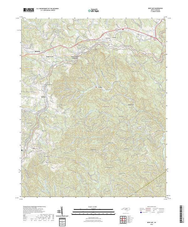
1967 Deep Gap
Watauga County, NC
1994 Sherwood
Watauga County, NC
1998 Deep Gap
Watauga County, NC
2010 Deep Gap
Watauga County, NC
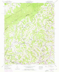
2011 Sherwood
Watauga County, NC
2013 Deep Gap
Watauga County, NC
2013 Sherwood
Watauga County, NC
2016 Deep Gap
Watauga County, NC
2016 Sherwood
Watauga County, NC
2019 Deep Gap
Watauga County, NC
2019 Sherwood
Watauga County, NC
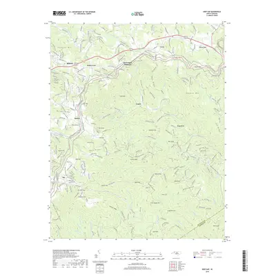
2022 Deep Gap
Watauga County, NC
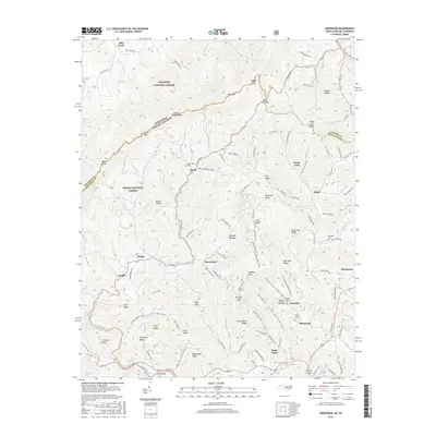
2022 Sherwood
Watauga County, NC