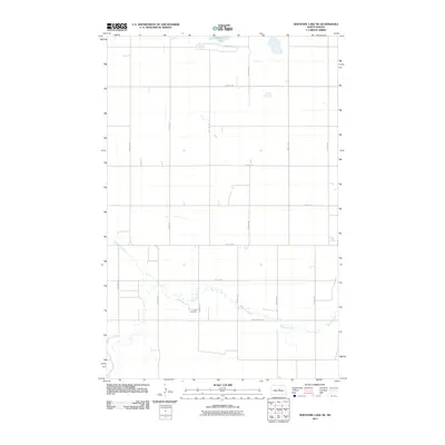
2011 Map of Sheyenne Lake NE
USGS Topo · Published 2011About this map
The Sheyenne River meanders through the southern reaches of this landscape, its winding course defining the topography south of County Hwy-4218. This 2011 survey captures the section lines of Wells County, North Dakota, where the expansive prairie is primarily organized by a rigid grid of rural roads like 25th Ave NE and 20th St NE. Zion Cemetery stands as a quiet focal point for local genealogy, situated near the river's bend in the south-central portion of the quadrangle. To the north, Sorenson Lake is the primary water feature in a terrain otherwise characterized by the intersection of long-distance avenues and streets, reflecting the enduring structure of the region's agricultural homesteads and early township planning.
Find a feature on this map
18 named features on this map. Tap any name to fly to it.
Don’t see what you’re looking for? This feature index may not catch every label — zoom into the map to look around manually.
Map Details
Editions of this 2011 Sheyenne Lake NE Map
This is the sole edition of this map. No revisions or reprints were ever made.
Other maps of this area

1940 · Aylmer
USGS Topo · 1:62,500

1941 · Selz
USGS Topo · 1:62,500

1945 · Manfred
USGS Topo · 1:62,500

1946 · Sheyenne Lake
USGS Topo · 1:48,000

1947 · Sheyenne Lake
USGS Topo · 1:62,500

1948 · Manfred
USGS Topo · 1:62,500

1949 · Manfred SW
USGS Topo · 1:24,000

1950 · Manfred NW
USGS Topo · 1:24,000

1950 · Sheyenne Lake NE
USGS Topo · 1:24,000

1950 · Sheyenne Lake
USGS Topo · 1:24,000