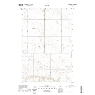
2018 Map of Sheyenne Lake NE
USGS Topo · Published 2018About this map
The Sheyenne River winds through the southern reaches of this landscape, its path shadowed by the N Country National Scenic Trail. This area of central North Dakota is characterized by its agricultural grid and the numerous small wetlands that dot the plains. Cultural landmarks are sparse but significant, including the Zion Cem located in the township of t148n r74w. The northern border is defined by Sorenson Lake, while the Sheridan Co Line Rd serves as a major north-south artery for local transport. Evidence of rural aviation is present at the Lonetree Airstrip, situated between several sections of pasture and cropland. This map provides a clear picture of the modern prairie economy, where traditional land divisions meet recreational corridors like the national scenic trail.
Find a feature on this map
20 named features on this map. Tap any name to fly to it.
Don’t see what you’re looking for? This feature index may not catch every label — zoom into the map to look around manually.
Map Details
Editions of this 2018 Sheyenne Lake NE Map
This is the sole edition of this map. No revisions or reprints were ever made.
Other maps of this area

1940 · Aylmer
USGS Topo · 1:62,500

1941 · Selz
USGS Topo · 1:62,500

1945 · Manfred
USGS Topo · 1:62,500

1946 · Sheyenne Lake
USGS Topo · 1:48,000

1947 · Sheyenne Lake
USGS Topo · 1:62,500

1948 · Manfred
USGS Topo · 1:62,500

1949 · Manfred SW
USGS Topo · 1:24,000

1950 · Manfred NW
USGS Topo · 1:24,000

1950 · Sheyenne Lake NE
USGS Topo · 1:24,000

1950 · Sheyenne Lake
USGS Topo · 1:24,000