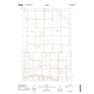
2020 Map of Sheyenne Lake NE
USGS Topo · Published 2020About this map
The Sheyenne River winds through the southern reaches of this landscape, carving a natural path across the prairie where the N Country National Scenic Trail now follows its course. The map illustrates a strictly organized section of the Great Plains, defined by a rigid grid of rural roads such as 18th St NE and 24th Ave NE that cross the county line between Sheridan and Wells Counties. Local heritage is anchored by quiet landmarks like the Zion Cem and the Harvey Mennonite Brethren Cem, which serve as physical links to the families who settled these sections. Away from the water, the terrain is dotted with small wetlands and a small Lonetree Airstrip, reflecting the area's agricultural and private aviation history.
Find a feature on this map
21 named features on this map. Tap any name to fly to it.
Don’t see what you’re looking for? This feature index may not catch every label — zoom into the map to look around manually.
Map Details
Editions of this 2020 Sheyenne Lake NE Map
This is the sole edition of this map. No revisions or reprints were ever made.
Other maps of this area

1940 · Aylmer
USGS Topo · 1:62,500

1941 · Selz
USGS Topo · 1:62,500

1945 · Manfred
USGS Topo · 1:62,500

1946 · Sheyenne Lake
USGS Topo · 1:48,000

1947 · Sheyenne Lake
USGS Topo · 1:62,500

1948 · Manfred
USGS Topo · 1:62,500

1949 · Manfred SW
USGS Topo · 1:24,000

1950 · Manfred NW
USGS Topo · 1:24,000

1950 · Sheyenne Lake NE
USGS Topo · 1:24,000

1950 · Sheyenne Lake
USGS Topo · 1:24,000