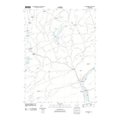
2010 Map of Shickshinny
USGS Topo · Published 2010About this map
Shickshinny and Mocanaqua anchor the southeastern corner of this map where the Susquehanna River cuts a deep gap between Shickshinny Mountain and Huntington Mountain. The landscape is defined by the convergence of several major creek systems, most notably Huntington Creek and Shickshinny Creek, which historically powered local industry. This industrial heritage is evidenced by the Huntington Mills Paper Mill Dam and Koons Dam near the village of Huntington Mills.
Find a feature on this map
60 named features on this map. Tap any name to fly to it.
Don’t see what you’re looking for? This feature index may not catch every label — zoom into the map to look around manually.
Map Details
Editions of this 2010 Shickshinny Map
This is the sole edition of this map. No revisions or reprints were ever made.
Other maps of this area

1891 · Harveys Lake
USGS Topo · 1:62,500

1893 · Harvey Lake
USGS Topo · 1:62,500

1894 · Shickshinny
USGS Topo · 1:62,500

1894 · Bloomsburg
USGS Topo · 1:62,500

1934 · Laporte
USGS Topo · 1:62,500

1946 · Sybertsville
USGS Topo · 1:31,680

1946 · Nanticoke
USGS Topo · 1:31,680

1946 · Shickshinny
USGS Topo · 1:31,680

1946 · Berwick
USGS Topo · 1:31,680

1946 · Harveys Lake
USGS Topo · 1:24,000
Featured Places
- Hunlock Township, PA
- Conyngham Township, PA
- Shickshinny, PA
- Mocanaqua, Conyngham Township
- Muhlenburg, Union Township