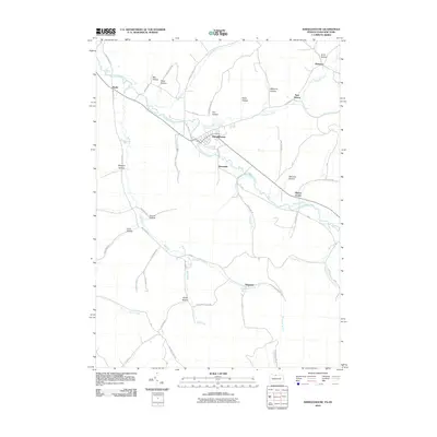
2010 Map of Shinglehouse
USGS Topo · Published 2010About this map
Oswayo Creek and Honeoye Creek converge near the community of Shinglehouse, forming a valley network that defines the settlement patterns of this border region. The landscape is characterized by a series of deep drainages and named hollows, such as Karr Hollow, Seely Hollow, and Wapsena Hollow, which branch away from the main waterways. Small clusters of homes and farmsteads are concentrated at rural crossroads like Sharon Center, Myrtle, and Sunnyside, often situated where side streams like Bell Run or Wildcat Creek meet the larger valley floors. This 2010 survey shows the persistence of traditional land names, including Shaytown and East Sharon, while the road network follows the ancient contours of the terrain through passages like Church Hollow and Doyle Hollow.
Find a feature on this map
67 named features on this map. Tap any name to fly to it.
Don’t see what you’re looking for? This feature index may not catch every label — zoom into the map to look around manually.
Map Details
Editions of this 2010 Shinglehouse Map
This is the sole edition of this map. No revisions or reprints were ever made.
Other maps of this area

1898 · Olean
USGS Topo · 1:62,500

1925 · Belmont
USGS Topo · 1:62,500

1933 · Smethport
USGS Topo · 1:62,500

1934 · Coudersport
USGS Topo · 1:48,000

1937 · Smethport
USGS Topo · 1:62,500

1938 · Coudersport
USGS Topo · 1:62,500

1938 · Olean
USGS Topo · 1:62,500

1939 · Belmont
USGS Topo · 1:62,500

1943 · Olean
USGS Topo · 1:62,500

1957 · Warren
USGS Topo · 1:250,000