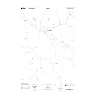
2013 Map of Shinglehouse
USGS Topo · Published 2013About this map
Oswayo Cr and Honeoye Cr define the drainage of this Pennsylvania-New York border region, where small valley settlements follow the winding path of the creeks. The borough of Shinglehouse serves as the central hub, surrounded by smaller rural communities including Sunnyside, Sharon Center, and Shaytown. The landscape is characterized by a series of prominent hollows, many bearing family names like Bee Hollow, Raub Hollow, Seely Hollow, and Doyle Hollow, suggesting the deep-rooted agricultural and homesteading history of the area.
Find a feature on this map
86 named features on this map. Tap any name to fly to it.
Don’t see what you’re looking for? This feature index may not catch every label — zoom into the map to look around manually.
Map Details
Editions of this 2013 Shinglehouse Map
This is the sole edition of this map. No revisions or reprints were ever made.
Other maps of this area

1898 · Olean
USGS Topo · 1:62,500

1925 · Belmont
USGS Topo · 1:62,500

1933 · Smethport
USGS Topo · 1:62,500

1934 · Coudersport
USGS Topo · 1:48,000

1937 · Smethport
USGS Topo · 1:62,500

1938 · Coudersport
USGS Topo · 1:62,500

1938 · Olean
USGS Topo · 1:62,500

1939 · Belmont
USGS Topo · 1:62,500

1943 · Olean
USGS Topo · 1:62,500

1957 · Warren
USGS Topo · 1:250,000