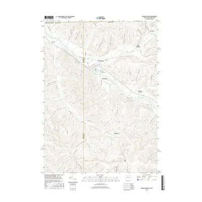
2016 Map of Shinglehouse
USGS Topo · Published 2016About this map
Oswayo Creek and Honeoye Cr define the drainage of this Pennsylvania and New York borderland, where the borough of Shinglehouse serves as the primary hub of activity. The map reveals a landscape deeply carved by numerous hollows, such as Raub Hollow, Seely Hollow, and Wapsena Hollow, which historically dictated the placement of mountain roads and small agricultural settlements. Small clusters like Sunnyside and Sharon Center are found at the intersection of these narrow valleys and the broader creek bottoms.
Find a feature on this map
64 named features on this map. Tap any name to fly to it.
Don’t see what you’re looking for? This feature index may not catch every label — zoom into the map to look around manually.
Map Details
Editions of this 2016 Shinglehouse Map
This is the sole edition of this map. No revisions or reprints were ever made.
Other maps of this area

1898 · Olean
USGS Topo · 1:62,500

1925 · Belmont
USGS Topo · 1:62,500

1933 · Smethport
USGS Topo · 1:62,500

1934 · Coudersport
USGS Topo · 1:48,000

1937 · Smethport
USGS Topo · 1:62,500

1938 · Coudersport
USGS Topo · 1:62,500

1938 · Olean
USGS Topo · 1:62,500

1939 · Belmont
USGS Topo · 1:62,500

1943 · Olean
USGS Topo · 1:62,500

1957 · Warren
USGS Topo · 1:250,000