
1958 Map of Shingleton
USGS Topo · Published 1959About this map
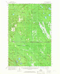
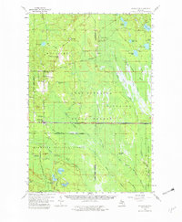
The dense forests of the Upper Peninsula dominate this landscape, where the Alger Co Schoolcraft Co line cuts through a region defined by logging and transit history. Small settlements such as Shingleton and Creighton sit along the route of the Duluth South Shore and Atlantic railroad, serving as nodes in an area heavily managed for conservation and timber. The map reveals the intricate water network of the Hiawatha National Forest and the Manistique River State Forest, where the Manistique River and its various branches, including the North Branch, wind through extensive marshlands.
Find a feature on this map
50 named features on this map. Tap any name to fly to it.
Don’t see what you’re looking for? This feature index may not catch every label — zoom into the map to look around manually.
Map Details
Editions of this 1958 Shingleton Map
3 editions found
Other maps of this area

1931 · Steuben NE
USGS Topo · 1:31,680

1931 · Shingleton SW
USGS Topo · 1:31,680

1931 · Steuben NW
USGS Topo · 1:31,680

1931 · Manistique River NW
USGS Topo · 1:31,680

1931 · Shingleton NE
USGS Topo · 1:31,680

1931 · Driggs Lake NW
USGS Topo · 1:31,680

1931 · Skeels Lake NE
USGS Topo · 1:31,680

1931 · Shingleton SE
USGS Topo · 1:31,680

1931 · Munising SE
USGS Topo · 1:31,680

1931 · Driggs Lake SW
USGS Topo · 1:31,680