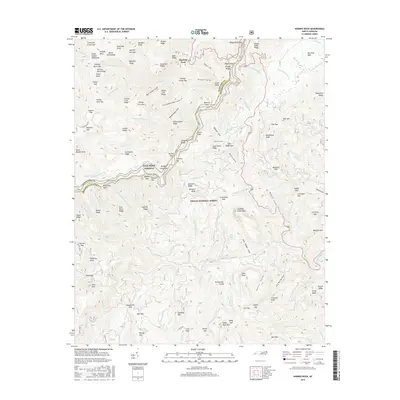
2016 Map of Shining Rock
USGS Topo · Published 2016About this map
Pisgah National Forest encompasses the high-altitude terrain shown here, dominated by the peaks of the Great Balsam Mountains along the boundary of Haywood and Transylvania counties. The engineering of the Blue Ridge Parkway is traced through the center of the map, winding past Seniard Mtn and Oaktog Gap. This 2016 survey documents the complex hydrology of the region, where the Yellowstone Prong feeds several dramatic vertical drops, including Yellowstone Falls, Second Falls, and Upper Falls.
Find a feature on this map
143 named features on this map. Tap any name to fly to it.
Don’t see what you’re looking for? This feature index may not catch every label — zoom into the map to look around manually.
Map Details
Editions of this 2016 Shining Rock Map
This is the sole edition of this map. No revisions or reprints were ever made.
Other maps of this area

1905 · Pisgah
USGS Topo · 1:125,000

1906 · Pisgah
USGS Topo · 1:125,000

1935 · Cruso
USGS Topo · 1:24,000

1935 · Brevard
USGS Topo · 1:24,000

1935 · Waynesville
USGS Topo · 1:24,000

1935 · Sam Knob
USGS Topo · 1:24,000

1935 · Rosman
USGS Topo · 1:24,000

1935 · Lake Toxaway
USGS Topo · 1:24,000

1935 · Shining Rock
USGS Topo · 1:24,000

1935 · Pisgah Forest
USGS Topo · 1:24,000