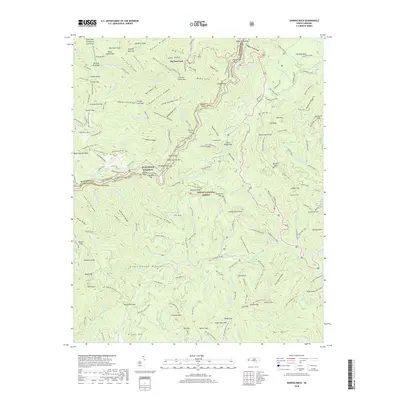
2019 Map of Shining Rock
USGS Topo · Published 2019About this map
Pisgah National Forest encompasses the high ridgelines and deep coves of this segment of the Blue Ridge Mountains. The landscape is defined by the crossing of the Blue Ridge Parkway and the legendary Art Loeb (Mts 91-91A) trail, which winds through the Shining Rock Wilderness area. Steep topography is punctuated by water features like Looking Glass Falls and Upper Falls along the Yellowstone Prong.
Find a feature on this map
149 named features on this map. Tap any name to fly to it.
Don’t see what you’re looking for? This feature index may not catch every label — zoom into the map to look around manually.
Map Details
Editions of this 2019 Shining Rock Map
This is the sole edition of this map. No revisions or reprints were ever made.
Other maps of this area

1905 · Pisgah
USGS Topo · 1:125,000

1906 · Pisgah
USGS Topo · 1:125,000

1935 · Cruso
USGS Topo · 1:24,000

1935 · Brevard
USGS Topo · 1:24,000

1935 · Waynesville
USGS Topo · 1:24,000

1935 · Sam Knob
USGS Topo · 1:24,000

1935 · Rosman
USGS Topo · 1:24,000

1935 · Lake Toxaway
USGS Topo · 1:24,000

1935 · Shining Rock
USGS Topo · 1:24,000

1935 · Pisgah Forest
USGS Topo · 1:24,000