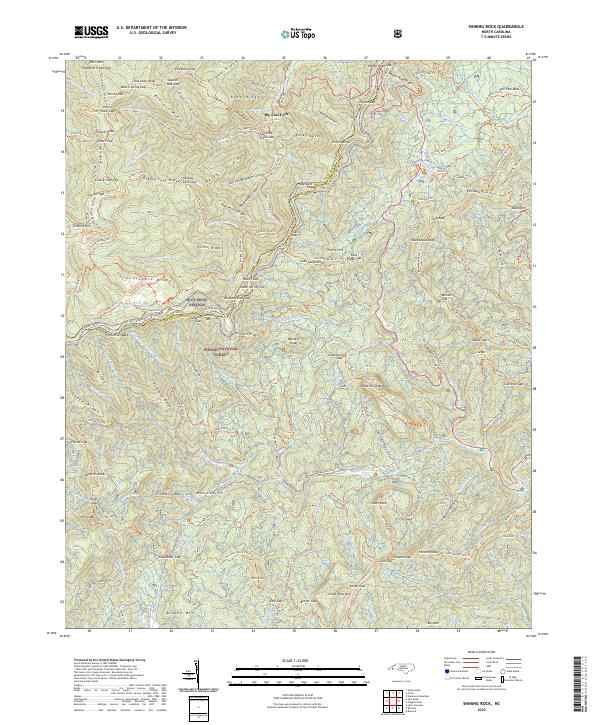
2022 Map of Shining Rock
USGS Topo · Published 2022About this map
Pisgah National Forest encompasses this section of the Blue Ridge, where high-elevation landmarks like Shining Rock and Graveyard Ridge overlook a complex network of headwaters and mountain trails. The topography is defined by the East Fork French Broad River and the S Fork Mills River, drawing a rugged boundary between Haywood and Transylvania counties. The area is notable for its extensive recreational infrastructure, including the iconic Blue Ridge Parkway and long-distance routes like the Art Loeb (Mts 91, 91a) Trl and the Mountains to Sea Trl.
Find a feature on this map
148 named features on this map. Tap any name to fly to it.
Don’t see what you’re looking for? This feature index may not catch every label — zoom into the map to look around manually.
Map Details
Editions of this 2022 Shining Rock Map
This is the sole edition of this map. No revisions or reprints were ever made.
Other maps of this area

1905 · Pisgah
USGS Topo · 1:125,000

1906 · Pisgah
USGS Topo · 1:125,000

1935 · Cruso
USGS Topo · 1:24,000

1935 · Brevard
USGS Topo · 1:24,000

1935 · Waynesville
USGS Topo · 1:24,000

1935 · Sam Knob
USGS Topo · 1:24,000

1935 · Rosman
USGS Topo · 1:24,000

1935 · Lake Toxaway
USGS Topo · 1:24,000

1935 · Shining Rock
USGS Topo · 1:24,000

1935 · Pisgah Forest
USGS Topo · 1:24,000